Vizianagaram night lights from space
Night Light of Vizianagaram (Andhra Pradesh) from space (India) Src. Average luminocity for 10x10km area is 51.5173% and for 50x50km: 11.9861%.
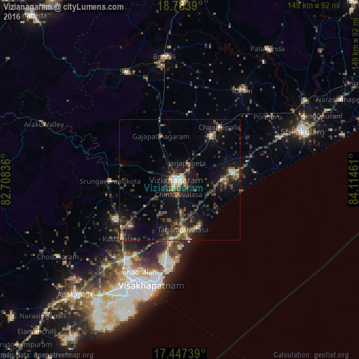
Analysis of Vizianagaram night lights 2016
Square area 10x10 km:
 3.46%
3.46%90-99
19.05%80-89
5.63%70-79
5.84%60-69
3.03%50-59
10.39%40-49
6.71%30-39
10.39%20-29
17.75%10-19
17.53%0-9
0.22%Square area 50x50 km:
0.35%90-99
1.55%80-89
0.83%70-79
0.93%60-69
1.26%50-59
2.44%40-49
3.47%30-39
3.28%20-29
4.73%10-19
10.17%0-9
70.99%Clear (daylight) street map image can be seen on geolist.org.
Map coordinates:
18° 47' 2" North, 82° 42' 30.1" East
18° 7' 0.9" North, 83° 24' 41.3" East
17° 26' 50.6" North, 84° 6' 52.6" East
Some cities around Vizianagaram sort by population:
• Visakhapatnam
53.4 km =33.2 mi,  204°
204°
• Gajuwaka
50.7 km =31.5 mi, 203°
• Bobbili
51.1 km =31.8 mi,  353°
353°
• Sālūr
49.5 km =30.8 mi,  333°
333°
• Bhīmunipatnam
25.6 km =15.9 mi,  170°
170°
• Rāzām
45.3 km =28.1 mi,  35°
35°
• Vepagunta
43 km =26.7 mi,  208°
208°
• Chīpurupalle
27.3 km =17 mi, 37°
1253084 (p: 179,358)
Sources (retrieved 2019-11-25):
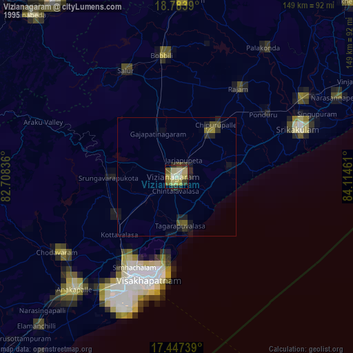
» NASA, Earths city lights 1995
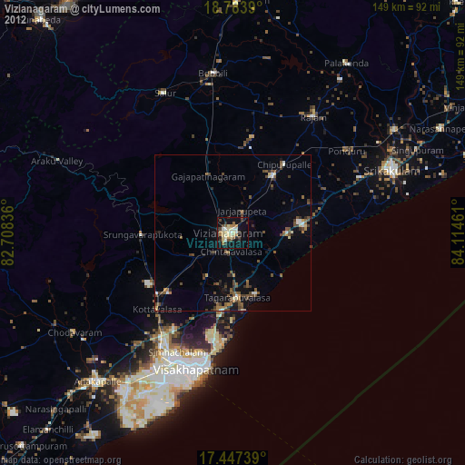
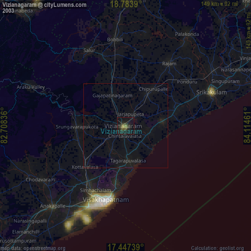
» NASA city lights 2003
» Earth at Night: Flat Maps 2012, 2016