Vepagunta night lights from space
Night Light of Vepagunta (Andhra Pradesh) from space (India) Src. Average luminocity for 10x10km area is 81.7338% and for 50x50km: 37.9154%.
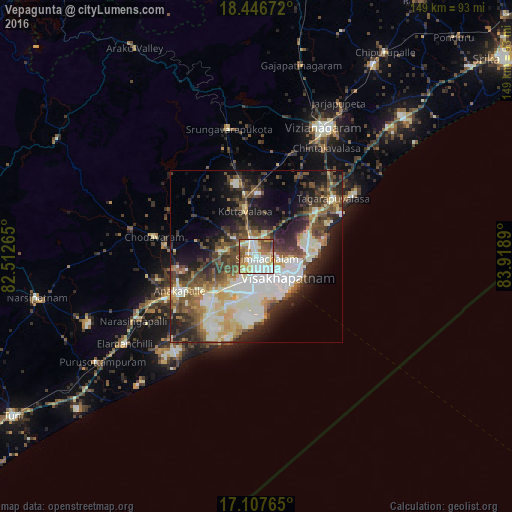
Analysis of Vepagunta night lights 2016
Square area 10x10 km:
 16.02%
90-99
32.9%80-89
9.74%70-79
14.94%60-69
10.61%50-59
9.09%40-49
5.63%30-39
1.08%20-29
0%10-19
0%0-9
0%Square area 50x50 km:
5.8%90-99
11.24%80-89
3.73%70-79
4.11%60-69
3.53%50-59
5.66%40-49
6.8%30-39
6.28%20-29
9.16%10-19
11.99%0-9
31.72%Clear (daylight) street map image can be seen on geolist.org.
Map coordinates:
18° 26' 48.2" North, 82° 30' 45.5" East
17° 46' 42.4" North, 83° 12' 56.8" East
17° 6' 27.5" North, 83° 55' 8" East
Some cities around Vepagunta sort by population:
• Visakhapatnam
11 km =6.8 mi,  187°
187°
• Gajuwaka
8.7 km =5.4 mi,  179°
179°
• Vizianagaram
43 km =26.7 mi,  28°
28°
• Anakāpalle
24.4 km =15.2 mi,  246°
246°
• Bhīmunipatnam
27.9 km =17.3 mi,  63°
63°
• Chodavaram
30.2 km =18.8 mi,  280°
280°
• Elamanchili
45.7 km =28.4 mi,  236°
236°
• Mādugula
45 km =28 mi,  289°
289°
1253242 (p: 26,881)
Sources (retrieved 2019-11-25):
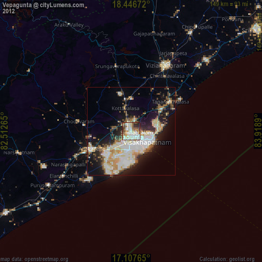
» Earth at Night: Flat Maps 2012, 2016