Gajuwaka night lights from space
Night Light of Gajuwaka (Andhra Pradesh) from space (India) Src. Average luminocity for 10x10km area is 95.5393% and for 50x50km: 35.9942%.
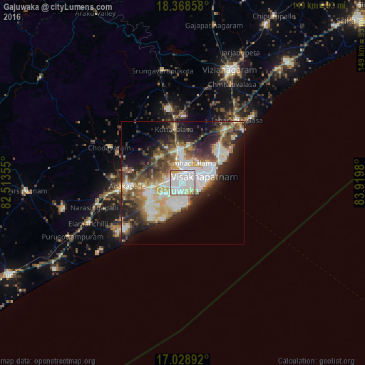
Analysis of Gajuwaka night lights 2016
Square area 10x10 km:
 42.77%
90-99
44.83%80-89
5.58%70-79
3.93%60-69
2.27%50-59
0.21%40-49
0.41%30-39
0%20-29
0%10-19
0%0-9
0%Square area 50x50 km:
5.7%90-99
11.08%80-89
3.73%70-79
3.87%60-69
3.35%50-59
5.41%40-49
5.6%30-39
5.61%20-29
8.19%10-19
11.21%0-9
36.26%Clear (daylight) street map image can be seen on geolist.org.
Map coordinates:
18° 22' 6.9" North, 82° 30' 48.8" East
17° 42' 0" North, 83° 13' 0" East
17° 1' 44.1" North, 83° 55' 11.3" East
Some cities around Gajuwaka sort by population:
• Visakhapatnam
2.7 km =1.7 mi,  215°
215°
• Vizianagaram
50.7 km =31.5 mi,  23°
23°
• Anakāpalle
22.6 km =14 mi,  267°
267°
• Bhīmunipatnam
32.7 km =20.3 mi,  49°
49°
• Chodavaram
33.1 km =20.6 mi,  295°
295°
• Vepagunta
8.7 km =5.4 mi,  359°
359°
• Elamanchili
41.6 km =25.8 mi,  246°
246°
• Mādugula
48.8 km =30.3 mi, 299°
7302833 (p: 258,944)
Sources (retrieved 2019-11-25):
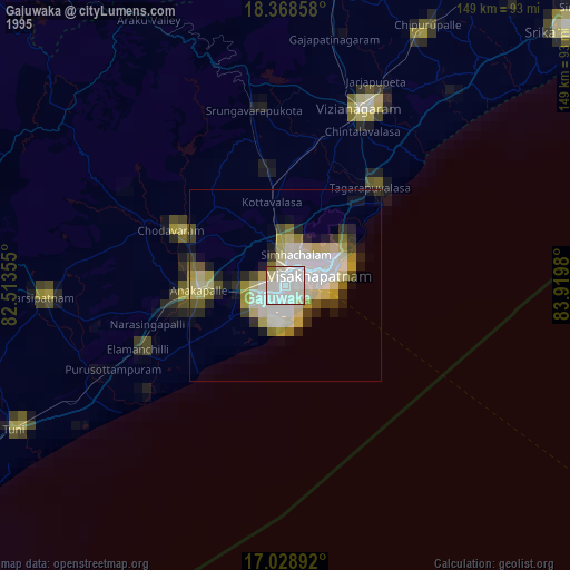
» NASA, Earths city lights 1995
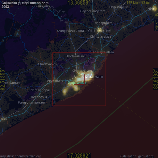
» NASA city lights 2003
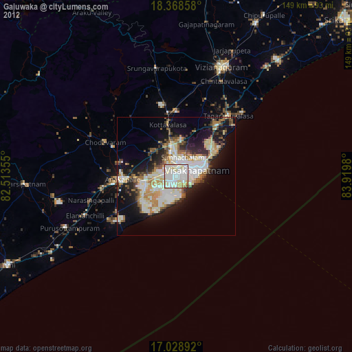
» Earth at Night: Flat Maps 2012, 2016