Bhīmunipatnam night lights from space
Night Light of Bhīmunipatnam (Andhra Pradesh) from space (India) Src. Average luminocity for 10x10km area is 34.1991% and for 50x50km: 19.3281%.
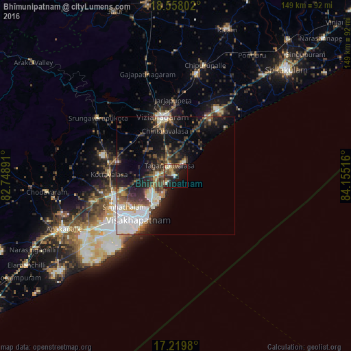
Analysis of Bhīmunipatnam night lights 2016
Square area 10x10 km:
 0.43%
0.43%90-99
9.31%80-89
3.68%70-79
4.11%60-69
3.9%50-59
10.39%40-49
3.46%30-39
4.76%20-29
11.04%10-19
27.27%0-9
21.65%Square area 50x50 km:
3.07%90-99
4.96%80-89
1.29%70-79
1.49%60-69
1.46%50-59
2.92%40-49
3.64%30-39
3.76%20-29
6.03%10-19
10.28%0-9
61.09%Clear (daylight) street map image can be seen on geolist.org.
Map coordinates:
18° 33' 28.9" North, 82° 44' 56.1" East
17° 53' 24.6" North, 83° 27' 7.3" East
17° 13' 11.3" North, 84° 9' 18.6" East
Some cities around Bhīmunipatnam sort by population:
• Visakhapatnam
35.3 km =21.9 mi,  228°
228°
• Gajuwaka
32.7 km =20.3 mi, 229°
• Vizianagaram
25.6 km =15.9 mi,  350°
350°
• Srikakulam
65.4 km =40.6 mi,  46°
46°
• Anakāpalle
52.3 km =32.5 mi,  245°
245°
• Chodavaram
55.1 km =34.2 mi,  262°
262°
• Vepagunta
27.9 km =17.3 mi,  243°
243°
• Chīpurupalle
48.4 km =30.1 mi,  14°
14°
1275930 (p: 44,843)
Sources (retrieved 2019-11-25):
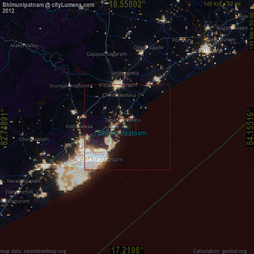
» Earth at Night: Flat Maps 2012, 2016