Himatnagar night lights from space
Night Light of Himatnagar (Gujarat) from space (India) Src. Average luminocity for 10x10km area is 40.5119% and for 50x50km: 5.4857%.
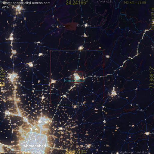
Analysis of Himatnagar night lights 2016
Square area 10x10 km:
 2.18%
2.18%90-99
11.31%80-89
7.34%70-79
3.77%60-69
6.94%50-59
3.77%40-49
3.57%30-39
4.76%20-29
11.31%10-19
40.87%0-9
4.17%Square area 50x50 km:
0.09%90-99
0.72%80-89
0.6%70-79
0.42%60-69
0.83%50-59
0.88%40-49
1.2%30-39
1.33%20-29
1.6%10-19
4.12%0-9
88.21%Clear (daylight) street map image can be seen on geolist.org.
Map coordinates:
24° 14' 30" North, 72° 15' 46.4" East
23° 35' 56.1" North, 72° 57' 57.7" East
22° 57' 10.9" North, 73° 40' 8.9" East
Some cities around Himatnagar sort by population:
• Visnagar
43.6 km =27.1 mi,  284°
284°
• Modāsa
37.1 km =23.1 mi,  114°
114°
• Mānsa
36.9 km =22.9 mi,  238°
238°
• Khedbrahma
48.6 km =30.2 mi,  9°
9°
• Vadnagar
39.3 km =24.4 mi,  301°
301°
• Vijāpur
22.5 km =14 mi,  259°
259°
• Kherālu
47.6 km =29.6 mi,  312°
312°
• Chhala
37.8 km =23.5 mi,  211°
211°
1270099 (p: 60,634)
Sources (retrieved 2019-11-25):
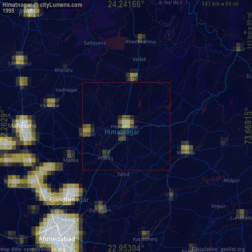
» NASA, Earths city lights 1995
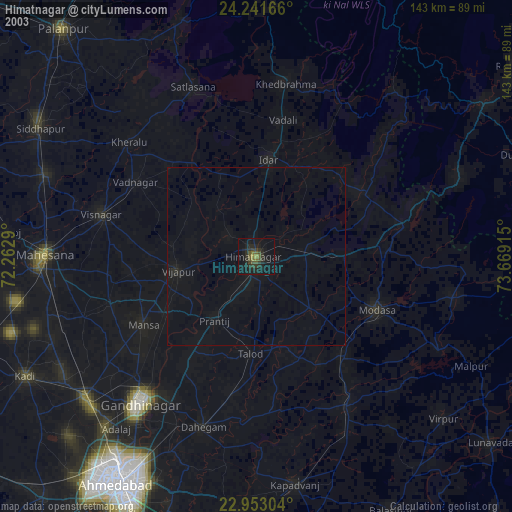
» NASA city lights 2003
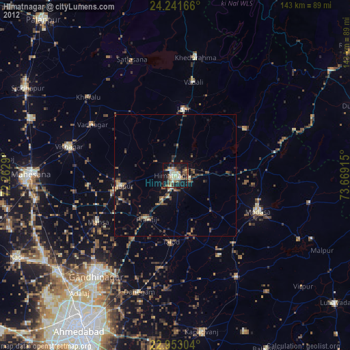
» Earth at Night: Flat Maps 2012, 2016