Unnāo night lights from space
Night Light of Unnāo (Uttar Pradesh) from space (India) Src. Average luminocity for 10x10km area is 64.9318% and for 50x50km: 24.636%.
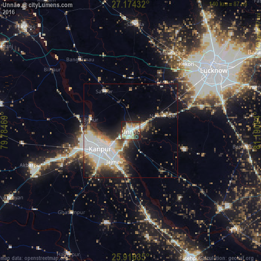
Analysis of Unnāo night lights 2016
Square area 10x10 km:
 10.61%
90-99
26.14%80-89
6.82%70-79
7.58%60-69
7.39%50-59
6.06%40-49
3.79%30-39
9.85%20-29
16.86%10-19
4.92%0-9
0%Square area 50x50 km:
5.79%90-99
6.83%80-89
1.94%70-79
2.15%60-69
2.39%50-59
2.29%40-49
3.36%30-39
3.22%20-29
5.89%10-19
8.67%0-9
57.45%Clear (daylight) street map image can be seen on geolist.org.
Map coordinates:
27° 10' 27.6" North, 79° 47' 4.9" East
26° 32' 49.4" North, 80° 29' 16.1" East
25° 54' 58.9" North, 81° 11' 27.4" East
Some cities around Unnāo sort by population:
• Kanpur
16.5 km =10.3 mi,  236°
236°
• Jagdīshpur
23.2 km =14.4 mi,  14°
14°
• Safīpur
25.6 km =15.9 mi,  325°
325°
• Purwā
30.2 km =18.8 mi,  109°
109°
• Nawābganj
18.6 km =11.6 mi,  252°
252°
• Bithūr
22.6 km =14 mi,  287°
287°
• Rasūlābād
22 km =13.7 mi,  0°
0°
• Bīghāpur Khurd
27.9 km =17.3 mi,  142°
142°
1253747 (p: 161,671)
Sources (retrieved 2019-11-25):
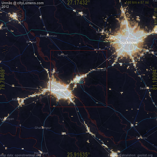
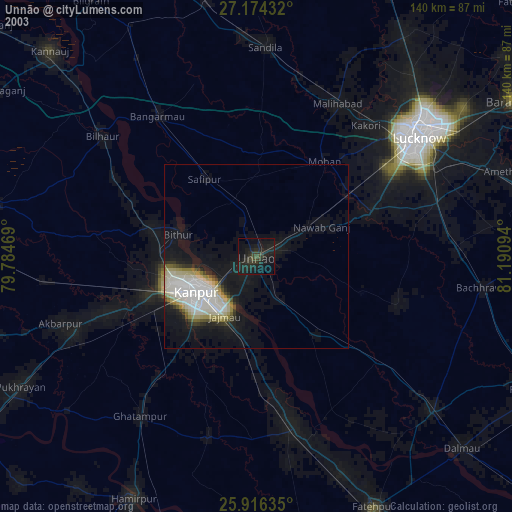
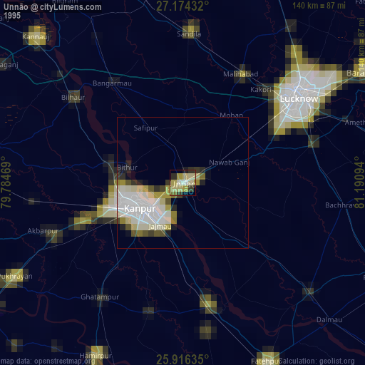
» NASA, Earths city lights 1995
» NASA city lights 2003
» Earth at Night: Flat Maps 2012, 2016