Purwā night lights from space
Night Light of Purwā (Uttar Pradesh) from space (India) Src. Average luminocity for 10x10km area is 12.3106% and for 50x50km: 8.1684%.
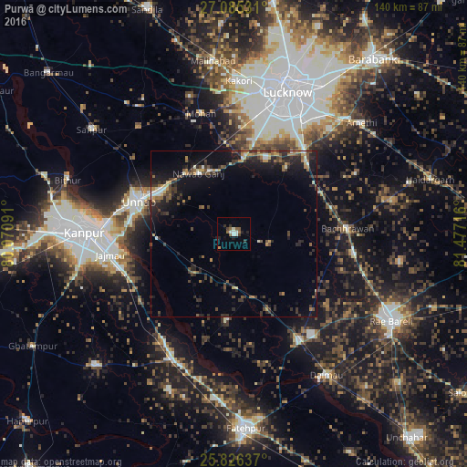
Analysis of Purwā night lights 2016
Square area 10x10 km:
 1.52%
1.52%90-99
3.03%80-89
0%70-79
0.76%60-69
1.7%50-59
2.84%40-49
0.95%30-39
2.46%20-29
2.27%10-19
2.27%0-9
82.2%Square area 50x50 km:
0.39%90-99
0.92%80-89
0.53%70-79
1.01%60-69
1.08%50-59
1.14%40-49
1.93%30-39
1.81%20-29
3.27%10-19
6.66%0-9
81.25%Clear (daylight) street map image can be seen on geolist.org.
Map coordinates:
27° 5' 7.1" North, 80° 4' 15.3" East
26° 27' 27.2" North, 80° 46' 26.5" East
25° 49' 34.9" North, 81° 28' 37.8" East
Some cities around Purwā sort by population:
• Unnāo
30.2 km =18.8 mi,  289°
289°
• Jagdīshpur
39.7 km =24.7 mi,  324°
324°
• Maurānwān
11 km =6.8 mi,  106°
106°
• Mohān
37.2 km =23.1 mi,  344°
344°
• Bachhrāwān
34.1 km =21.2 mi,  87°
87°
• Nagrām
40.6 km =25.2 mi,  63°
63°
• Bhagwantnagar
26 km =16.2 mi,  183°
183°
• Bīghāpur Khurd
16.9 km =10.5 mi,  223°
223°
1259157 (p: 22,220)
Sources (retrieved 2019-11-25):
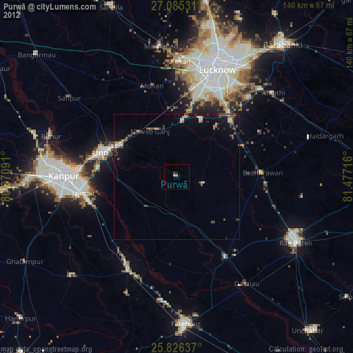
» Earth at Night: Flat Maps 2012, 2016