Kanpur night lights from space
Night Light of Kanpur (Uttar Pradesh) from space (India) Src. Average luminocity for 10x10km area is 95.1345% and for 50x50km: 29.0212%.
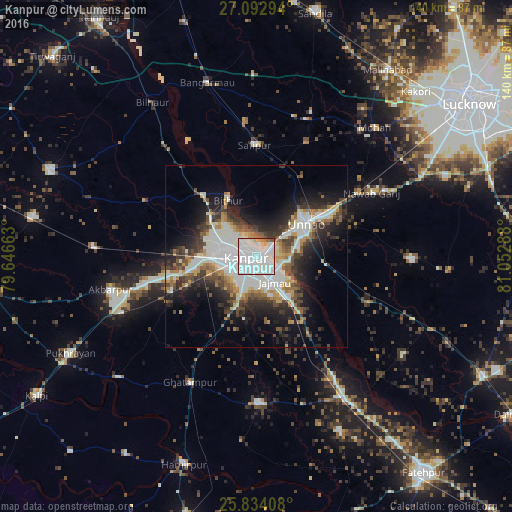
Analysis of Kanpur night lights 2016
Square area 10x10 km:
 48.48%
90-99
41.1%80-89
2.08%70-79
2.27%60-69
2.08%50-59
2.65%40-49
0.38%30-39
0.95%20-29
0%10-19
0%0-9
0%Square area 50x50 km:
6.3%90-99
8.15%80-89
2.18%70-79
2.62%60-69
3.07%50-59
2.84%40-49
4.14%30-39
4.4%20-29
7.37%10-19
11.4%0-9
47.54%Clear (daylight) street map image can be seen on geolist.org.
Map coordinates:
27° 5' 34.6" North, 79° 38' 47.9" East
26° 27' 54.8" North, 80° 20' 59.1" East
25° 50' 2.7" North, 81° 3' 10.4" East
Some cities around Kanpur sort by population:
• Unnāo
16.5 km =10.3 mi,  56°
56°
• Safīpur
30.3 km =18.8 mi,  358°
358°
• Nawābganj
5.4 km =3.4 mi,  311°
311°
• Bithūr
17.6 km =10.9 mi,  333°
333°
• Rasūlābād
34.1 km =21.2 mi,  24°
24°
• Ugu
37 km =23 mi, 355°
• Bīghāpur Khurd
33.3 km =20.7 mi,  113°
113°
• Fatehpur Chaurāsi
37 km =23 mi,  346°
346°
1267995 (p: 2,823,249)
Sources (retrieved 2019-11-25):
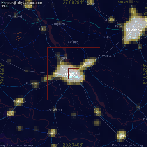
» NASA, Earths city lights 1995
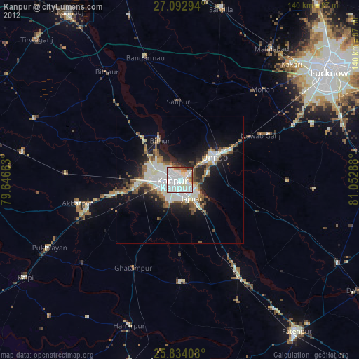
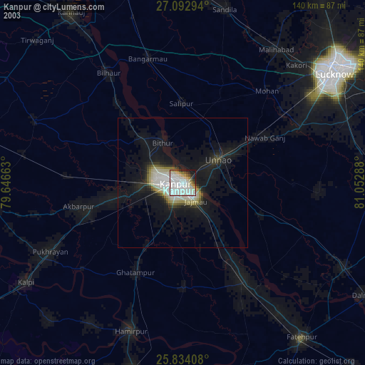
» NASA city lights 2003
» Earth at Night: Flat Maps 2012, 2016