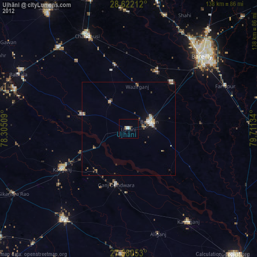
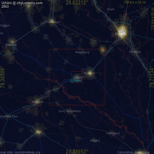
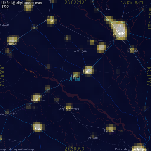
Ujhāni night lights from space
Night Light of Ujhāni (Uttar Pradesh) from space (India) Src. Average luminocity for 10x10km area is 3.8201% and for 50x50km: 5.001%.
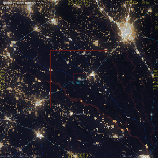
Analysis of Ujhāni night lights 2016
Square area 10x10 km:
 0%
0%90-99
0%80-89
0%70-79
0%60-69
0.76%50-59
2.27%40-49
0%30-39
0%20-29
2.84%10-19
1.7%0-9
92.42%Square area 50x50 km:
0.23%90-99
0.44%80-89
0.34%70-79
0.65%60-69
0.5%50-59
0.89%40-49
1.05%30-39
1.63%20-29
1.34%10-19
3.22%0-9
89.72%Clear (daylight) street map image can be seen on geolist.org.
Map coordinates:
28° 37' 19.6" North, 78° 18' 18.3" East
28° 0' 11.2" North, 79° 0' 29.6" East
27° 22' 49.9" North, 79° 42' 40.8" East
Some cities around Ujhāni sort by population:
• Budaun
12.3 km =7.6 mi,  71°
71°
• Sahaswān
26.4 km =16.4 mi,  286°
286°
• Ganj Dundwāra
30.7 km =19.1 mi,  192°
192°
• Kakrāla
22 km =13.7 mi,  123°
123°
• Soron
28.6 km =17.8 mi,  244°
244°
• Bilsi
17 km =10.6 mi,  325°
325°
• Sahāwar
28.7 km =17.8 mi,  216°
216°
• Wazīrganj
23.6 km =14.7 mi,  11°
11°
1253918 (p: 56,309)
Sources (retrieved 2019-11-25):
» NASA, Earths city lights 1995
» NASA city lights 2003
» Earth at Night: Flat Maps 2012, 2016