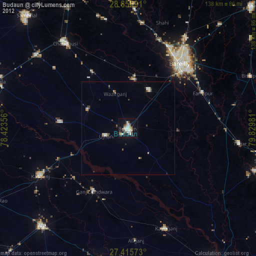
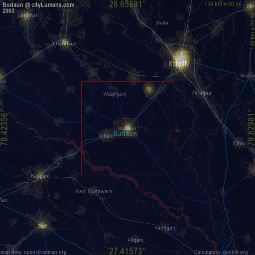
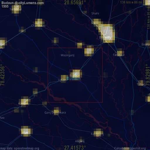
Budaun night lights from space
Night Light of Budaun (Uttar Pradesh) from space (India) Src. Average luminocity for 10x10km area is 31.9545% and for 50x50km: 5.6853%.
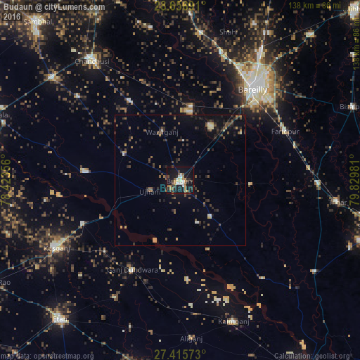
Analysis of Budaun night lights 2016
Square area 10x10 km:
 3.22%
3.22%90-99
5.11%80-89
3.22%70-79
4.73%60-69
5.11%50-59
4.36%40-49
4.92%30-39
4.55%20-29
5.87%10-19
43.18%0-9
15.72%Square area 50x50 km:
0.24%90-99
0.43%80-89
0.39%70-79
0.65%60-69
0.55%50-59
1.09%40-49
1.27%30-39
1.71%20-29
1.72%10-19
4.08%0-9
87.87%Clear (daylight) street map image can be seen on geolist.org.
Map coordinates:
28° 39' 24.9" North, 78° 25' 24.8" East
28° 2' 17.2" North, 79° 7' 36" East
27° 24' 56.6" North, 79° 49' 47.3" East
Some cities around Budaun sort by population:
• Ujhāni
12.3 km =7.6 mi,  251°
251°
• Aonla
26.5 km =16.5 mi,  8°
8°
• Kakrāla
17.5 km =10.9 mi,  157°
157°
• Bisauli
35.3 km =21.9 mi,  328°
328°
• Bilsi
23.5 km =14.6 mi,  295°
295°
• Dātāganj
27.7 km =17.2 mi,  92°
92°
• Wazīrganj
20.5 km =12.7 mi,  340°
340°
• Usehat
28.8 km =17.9 mi, 157°
1275163 (p: 161,555)
Sources (retrieved 2019-11-25):
» NASA, Earths city lights 1995
» NASA city lights 2003
» Earth at Night: Flat Maps 2012, 2016