Sahāwar night lights from space
Night Light of Sahāwar (Uttar Pradesh) from space (India) Src. Average luminocity for 10x10km area is 9.2381% and for 50x50km: 8.0487%.
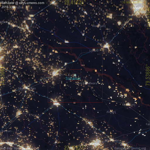
Analysis of Sahāwar night lights 2016
Square area 10x10 km:
 0%
0%90-99
0.79%80-89
0.2%70-79
0%60-69
1.98%50-59
0.2%40-49
4.17%30-39
7.14%20-29
1.79%10-19
0.99%0-9
82.74%Square area 50x50 km:
0.25%90-99
0.57%80-89
0.85%70-79
0.88%60-69
0.8%50-59
1.33%40-49
2.03%30-39
2.74%20-29
3.2%10-19
5.26%0-9
82.08%Clear (daylight) street map image can be seen on geolist.org.
Map coordinates:
28° 24' 58.5" North, 78° 7' 50.2" East
27° 47' 45.7" North, 78° 50' 1.4" East
27° 10' 20.2" North, 79° 32' 12.7" East
Some cities around Sahāwar sort by population:
• Kāsganj
18.5 km =11.5 mi,  274°
274°
• Ujhāni
28.7 km =17.8 mi,  36°
36°
• Ganj Dundwāra
12.7 km =7.9 mi,  123°
123°
• Soron
13.6 km =8.5 mi,  320°
320°
• Mārahra
26.9 km =16.7 mi,  255°
255°
• Sidhpura
18.4 km =11.4 mi,  169°
169°
• Patiāli
20 km =12.4 mi,  125°
125°
• Amānpur
13.3 km =8.3 mi,  225°
225°
1257799 (p: 22,201)
Sources (retrieved 2019-11-25):
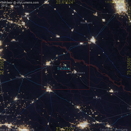
» Earth at Night: Flat Maps 2012, 2016