Udaipur night lights from space
Night Light of Udaipur (Rajasthan) from space (India) Src. Average luminocity for 10x10km area is 93.6111% and for 50x50km: 16.4467%.
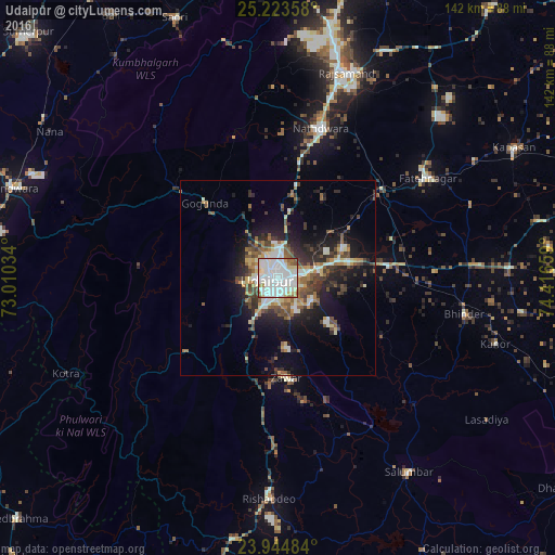
Analysis of Udaipur night lights 2016
Square area 10x10 km:
 41.07%
90-99
42.26%80-89
6.55%70-79
2.18%60-69
3.97%50-59
3.57%40-49
0.4%30-39
0%20-29
0%10-19
0%0-9
0%Square area 50x50 km:
2.02%90-99
4.25%80-89
1.39%70-79
1.42%60-69
1.82%50-59
2.72%40-49
2.64%30-39
2.42%20-29
4.87%10-19
9.1%0-9
67.35%Clear (daylight) street map image can be seen on geolist.org.
Map coordinates:
25° 13' 24.9" North, 73° 0' 37.2" East
24° 35' 9" North, 73° 42' 48.5" East
23° 56' 41.4" North, 74° 24' 59.7" East
Some cities around Udaipur sort by population:
• Rājsamand
56.5 km =35.1 mi,  17°
17°
• Nāthdwāra
40.7 km =25.3 mi, 15°
• Sādri
71.7 km =44.6 mi,  338°
338°
• Pindwāra
70.6 km =43.9 mi,  289°
289°
• Bhindār
48.6 km =30.2 mi,  101°
101°
• Sālūmbar
60.3 km =37.5 mi,  146°
146°
• Bari Sādri
79.2 km =49.2 mi, 104°
• Kānor
58.3 km =36.2 mi,  106°
106°
1253986 (p: 422,784)
Sources (retrieved 2019-11-25):
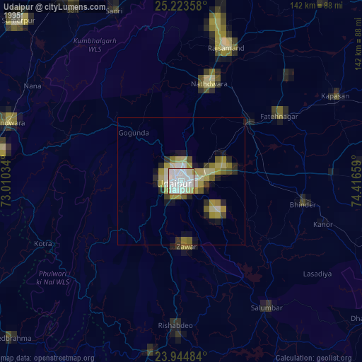
» NASA, Earths city lights 1995
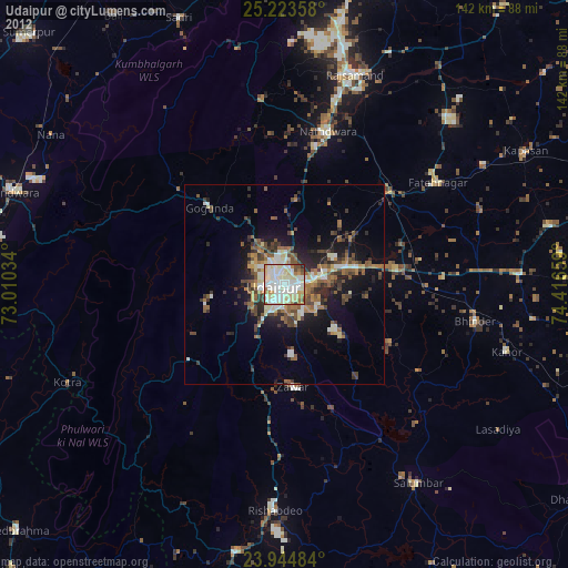
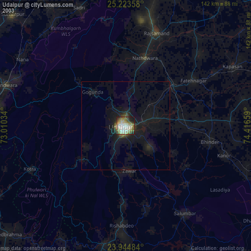
» NASA city lights 2003
» Earth at Night: Flat Maps 2012, 2016