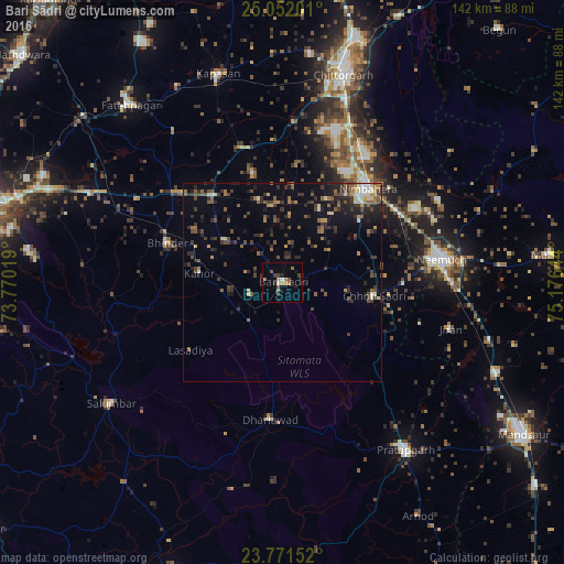
Bari Sādri night lights from space
Night Light of Bari Sādri (Rajasthan) from space (India) Src. Average luminocity for 10x10km area is 11.8294% and for 50x50km: 7.747%.
Analysis of Bari Sādri night lights 2016
Square area 10x10 km:
 0%
0%90-99
1.59%80-89
0%70-79
1.59%60-69
2.58%50-59
2.98%40-49
2.38%30-39
2.78%20-29
1.98%10-19
2.38%0-9
81.75%Square area 50x50 km:
0.17%90-99
0.83%80-89
0.59%70-79
0.64%60-69
1.09%50-59
1.73%40-49
1.77%30-39
2.23%20-29
2.72%10-19
3.71%0-9
84.52%Clear (daylight) street map image can be seen on geolist.org.
Map coordinates:
25° 3' 7.2" North, 73° 46' 12.7" East
24° 24' 48.2" North, 74° 28' 23.9" East
23° 46' 17.5" North, 75° 10' 35.2" East
Some cities around Bari Sādri sort by population:
• Nīmbāhera
31.2 km =19.4 mi,  42°
42°
• Pratāpgarh
52.7 km =32.7 mi,  143°
143°
• Chhoti Sādri
23.3 km =14.5 mi,  98°
98°
• Bhindār
30.8 km =19.1 mi,  288°
288°
• Jāwad
44.5 km =27.7 mi,  62°
62°
• Sālūmbar
53.4 km =33.2 mi,  234°
234°
• Kānor
21.2 km =13.2 mi,  276°
276°
• Jīran
43.9 km =27.3 mi,  105°
105°
1276939 (p: 15,616)
Sources (retrieved 2019-11-25):
» Earth at Night: Flat Maps 2012, 2016