Kānor night lights from space
Night Light of Kānor (Rajasthan) from space (India) Src. Average luminocity for 10x10km area is 5.7401% and for 50x50km: 5.267%.
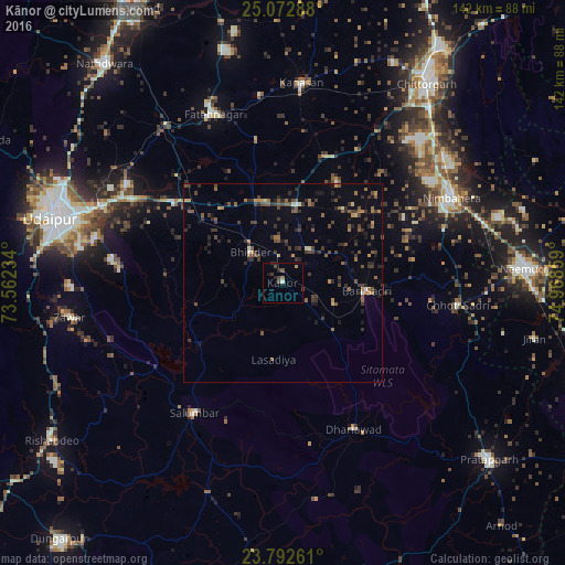
Analysis of Kānor night lights 2016
Square area 10x10 km:
 0%
0%90-99
0.79%80-89
0%70-79
0.79%60-69
0.79%50-59
0%40-49
3.17%30-39
1.19%20-29
2.38%10-19
1.59%0-9
89.29%Square area 50x50 km:
0%90-99
0.29%80-89
0.25%70-79
0.54%60-69
0.73%50-59
1.26%40-49
1.48%30-39
1.69%20-29
1.78%10-19
1.31%0-9
90.67%Clear (daylight) street map image can be seen on geolist.org.
Map coordinates:
25° 4' 22.4" North, 73° 33' 44.4" East
24° 26' 3.7" North, 74° 15' 55.7" East
23° 47' 33.4" North, 74° 58' 6.9" East
Some cities around Kānor sort by population:
• Udaipur
58.3 km =36.2 mi,  286°
286°
• Chittaurgarh
62.3 km =38.7 mi,  35°
35°
• Nīmbāhera
46.8 km =29.1 mi,  63°
63°
• Chhoti Sādri
44.5 km =27.7 mi,  97°
97°
• Bhindār
11.1 km =6.9 mi,  313°
313°
• Jāwad
63.1 km =39.2 mi,  73°
73°
• Sālūmbar
40.1 km =24.9 mi,  213°
213°
• Bari Sādri
21.2 km =13.2 mi, 96°
1268001 (p: 13,089)
Sources (retrieved 2019-11-25):
» Earth at Night: Flat Maps 2012, 2016