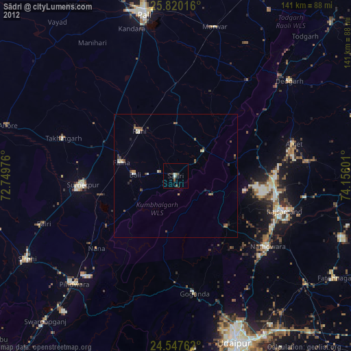
Sādri night lights from space
Night Light of Sādri (Rajasthan) from space (India) Src. Average luminocity for 10x10km area is 8.3234% and for 50x50km: 2.0259%.
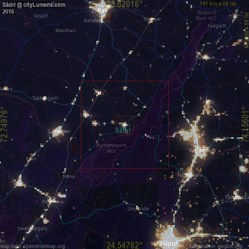
Analysis of Sādri night lights 2016
Square area 10x10 km:
 0%
0%90-99
1.59%80-89
0.79%70-79
0%60-69
1.98%50-59
2.78%40-49
2.78%30-39
0.2%20-29
1.39%10-19
1.59%0-9
86.9%Square area 50x50 km:
0.03%90-99
0.34%80-89
0.16%70-79
0.32%60-69
0.26%50-59
0.39%40-49
0.61%30-39
0.26%20-29
0.44%10-19
0.42%0-9
96.78%Clear (daylight) street map image can be seen on geolist.org.
Map coordinates:
25° 49' 12.6" North, 72° 44' 59.1" East
25° 11' 8" North, 73° 27' 10.4" East
24° 32' 51.4" North, 74° 9' 21.6" East
Some cities around Sādri sort by population:
• Rājsamand
44.8 km =27.8 mi,  106°
106°
• Nāthdwāra
46.4 km =28.8 mi,  126°
126°
• Sheoganj
39.1 km =24.3 mi,  262°
262°
• Pindwāra
58.9 km =36.6 mi,  222°
222°
• Bāli
16.3 km =10.1 mi,  274°
274°
• Amet
49.4 km =30.7 mi,  74°
74°
• Takhatgarh
47.6 km =29.6 mi,  288°
288°
• Rāni
23.4 km =14.5 mi,  321°
321°
1257865 (p: 25,632)
Sources (retrieved 2019-11-25):
» Earth at Night: Flat Maps 2012, 2016