Rājsamand night lights from space
Night Light of Rājsamand (Rajasthan) from space (India) Src. Average luminocity for 10x10km area is 62.4564% and for 50x50km: 13.5748%.
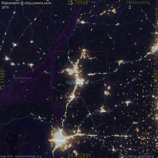
Analysis of Rājsamand night lights 2016
Square area 10x10 km:
 5.87%
5.87%90-99
27.08%80-89
5.49%70-79
4.55%60-69
5.49%50-59
9.28%40-49
17.05%30-39
7.58%20-29
13.26%10-19
4.36%0-9
0%Square area 50x50 km:
0.71%90-99
3.75%80-89
1.17%70-79
1.2%60-69
1.4%50-59
2.05%40-49
2.41%30-39
1.87%20-29
4.45%10-19
10.89%0-9
70.1%Clear (daylight) street map image can be seen on geolist.org.
Map coordinates:
25° 42' 24" North, 73° 10' 36" East
25° 4' 17.2" North, 73° 52' 47.3" East
24° 25' 58.5" North, 74° 34' 58.5" East
Some cities around Rājsamand sort by population:
• Udaipur
56.5 km =35.1 mi,  197°
197°
• Nāthdwāra
15.9 km =9.9 mi, 200°
• Sādri
44.8 km =27.8 mi,  286°
286°
• Bāli
60.9 km =37.8 mi,  283°
283°
• Gangāpur
41.7 km =25.9 mi,  66°
66°
• Devgarh
50.5 km =31.4 mi,  3°
3°
• Amet
26.5 km =16.5 mi,  10°
10°
• Rāni
65.3 km =40.6 mi,  298°
298°
1258797 (p: 63,414)
Sources (retrieved 2019-11-25):
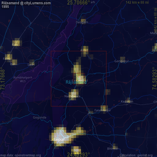
» NASA, Earths city lights 1995
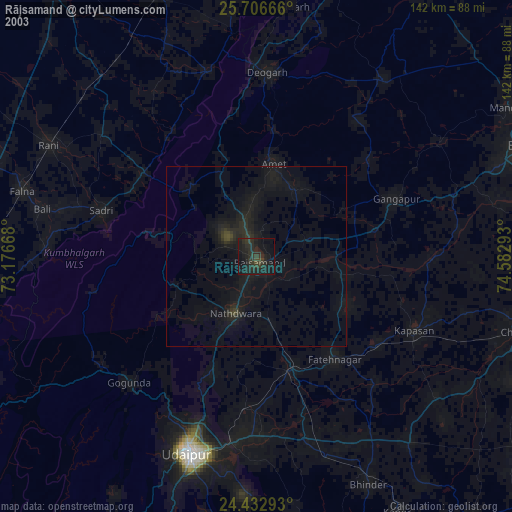
» NASA city lights 2003
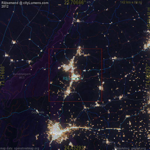
» Earth at Night: Flat Maps 2012, 2016