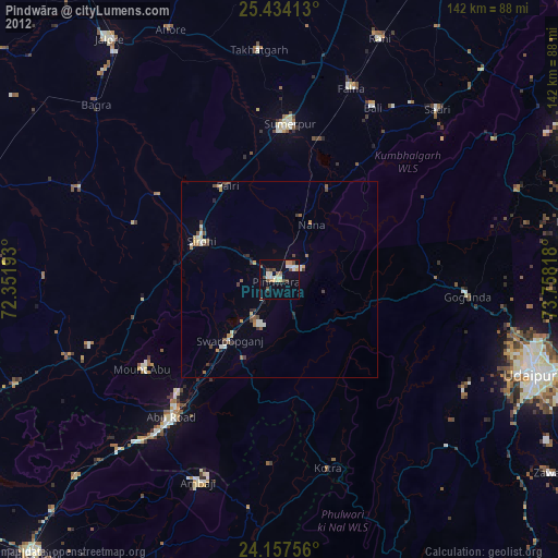
Pindwāra night lights from space
Night Light of Pindwāra (Rajasthan) from space (India) Src. Average luminocity for 10x10km area is 25.2254% and for 50x50km: 3.9914%.

Analysis of Pindwāra night lights 2016
Square area 10x10 km:
 1.52%
1.52%90-99
6.44%80-89
3.03%70-79
1.7%60-69
4.36%50-59
3.41%40-49
1.52%30-39
4.17%20-29
2.65%10-19
30.87%0-9
40.34%Square area 50x50 km:
0.23%90-99
0.95%80-89
0.27%70-79
0.35%60-69
0.52%50-59
0.53%40-49
0.47%30-39
0.62%20-29
0.52%10-19
2.23%0-9
93.3%Clear (daylight) street map image can be seen on geolist.org.
Map coordinates:
25° 26' 2.9" North, 72° 21' 6.9" East
24° 47' 51" North, 73° 3' 18.2" East
24° 9' 27.2" North, 73° 45' 29.4" East
Some cities around Pindwāra sort by population:
• Ābu Road
44.8 km =27.8 mi,  218°
218°
• Sirohi
23.2 km =14.4 mi,  295°
295°
• Sheoganj
38 km =23.6 mi,  1°
1°
• Sādri
58.9 km =36.6 mi,  42°
42°
• Ābu
40.9 km =25.4 mi,  236°
236°
• Bāli
50.4 km =31.3 mi,  28°
28°
• Takhatgarh
58.6 km =36.4 mi,  355°
355°
• Rāni
66.6 km =41.4 mi,  22°
22°
1259638 (p: 23,229)
Sources (retrieved 2019-11-25):
» Earth at Night: Flat Maps 2012, 2016