Tura night lights from space
Night Light of Tura (Meghalaya) from space (India) Src. Average luminocity for 10x10km area is 39.3929% and for 50x50km: 2.2191%.
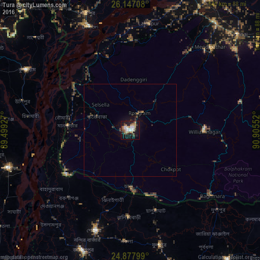
Analysis of Tura night lights 2016
Square area 10x10 km:
 7.34%
7.34%90-99
8.73%80-89
3.57%70-79
5.16%60-69
4.56%50-59
4.37%40-49
5.95%30-39
4.17%20-29
5.75%10-19
39.09%0-9
11.31%Square area 50x50 km:
0.28%90-99
0.34%80-89
0.14%70-79
0.23%60-69
0.21%50-59
0.31%40-49
0.43%30-39
0.41%20-29
0.41%10-19
2.39%0-9
94.87%Clear (daylight) street map image can be seen on geolist.org.
Map coordinates:
26° 8' 49.5" North, 89° 29' 57.4" East
25° 30' 51.2" North, 90° 12' 8.6" East
24° 52' 40.8" North, 90° 54' 19.9" East
Some cities around Tura sort by population:
• Jamālpur, BD
70.9 km =44.1 mi,  201°
201°
• Sherpur, BD
58.1 km =36.1 mi, 198°
• Dhuburi
60.1 km =37.3 mi,  338°
338°
• Chilmāri, BD
53.5 km =33.2 mi,  274°
274°
• Nageswari, BD
71.9 km =44.7 mi,  314°
314°
• Mankāchar
34 km =21.1 mi, 273°
• Gauripur
67.7 km =42.1 mi, 339°
• Lakhipur
58.3 km =36.2 mi,  10°
10°
1254046 (p: 63,645)
Sources (retrieved 2019-11-25):
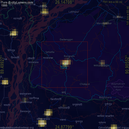
» NASA, Earths city lights 1995
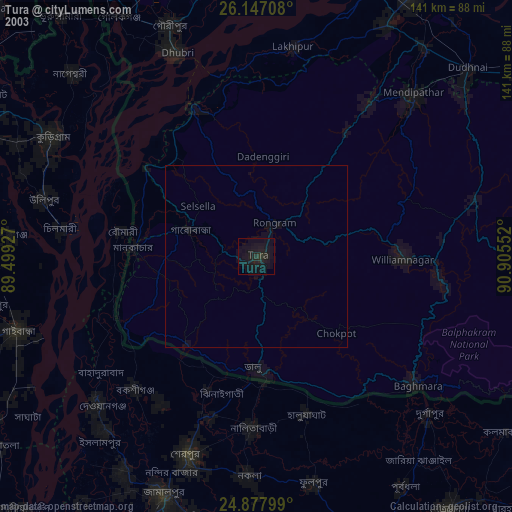
» NASA city lights 2003
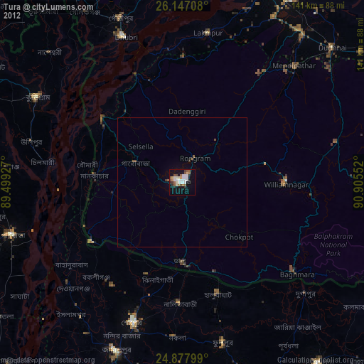
» Earth at Night: Flat Maps 2012, 2016