Gauripur night lights from space
Night Light of Gauripur (Assam) from space (India) Src. Average luminocity for 10x10km area is 19.5417% and for 50x50km: 4.1268%.
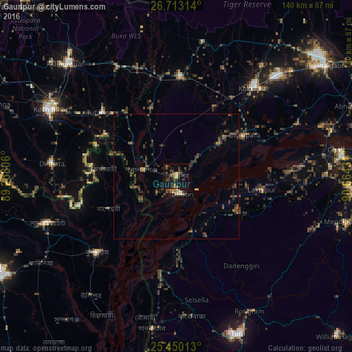
Analysis of Gauripur night lights 2016
Square area 10x10 km:
 0%
0%90-99
0%80-89
1.19%70-79
1.98%60-69
3.57%50-59
1.79%40-49
10.32%30-39
4.17%20-29
8.33%10-19
25.99%0-9
42.66%Square area 50x50 km:
0.05%90-99
0.08%80-89
0.13%70-79
0.36%60-69
0.59%50-59
0.85%40-49
1.52%30-39
1.47%20-29
1.87%10-19
2.39%0-9
90.69%Clear (daylight) street map image can be seen on geolist.org.
Map coordinates:
26° 42' 47.3" North, 89° 15' 29" East
26° 5' 0" North, 89° 57' 40.2" East
25° 27' 0.5" North, 90° 39' 51.5" East
Some cities around Gauripur sort by population:
• Dhuburi
7.6 km =4.7 mi,  161°
161°
• Nageswari, BD
29.8 km =18.5 mi,  244°
244°
• Bilāsipāra
31.9 km =19.8 mi,  58°
58°
• Tufānganj
39.3 km =24.4 mi,  311°
311°
• Lakhipur
35 km =21.7 mi,  99°
99°
• Goshaingaon
39.6 km =24.6 mi,  0°
0°
• Sapatgrām
32.6 km =20.3 mi,  29°
29°
• Golakganj
14 km =8.7 mi,  278°
278°
1271453 (p: 24,694)
Sources (retrieved 2019-11-25):
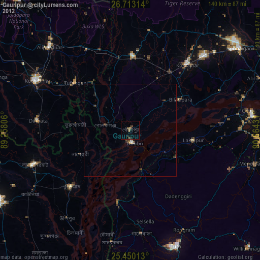
» Earth at Night: Flat Maps 2012, 2016