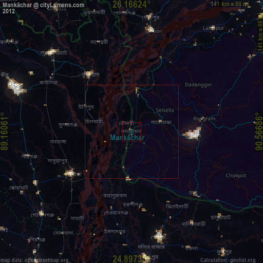
Mankāchar night lights from space
Night Light of Mankāchar (Meghalaya) from space (India) Src. Average luminocity for 10x10km area is 4.6845% and for 50x50km: 1.3526%.
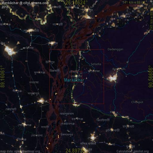
Analysis of Mankāchar night lights 2016
Square area 10x10 km:
 0%
0%90-99
0%80-89
0.79%70-79
0.79%60-69
0.79%50-59
0.6%40-49
0.99%30-39
2.18%20-29
2.58%10-19
1.59%0-9
89.68%Square area 50x50 km:
0%90-99
0%80-89
0.07%70-79
0.15%60-69
0.18%50-59
0.27%40-49
0.66%30-39
0.54%20-29
0.56%10-19
0.54%0-9
97.05%Clear (daylight) street map image can be seen on geolist.org.
Map coordinates:
26° 9' 58.5" North, 89° 9' 38.2" East
25° 32' 0.5" North, 89° 51' 49.4" East
24° 53' 50.5" North, 90° 34' 0.7" East
Some cities around Mankāchar sort by population:
• Sherpur, BD
59.3 km =36.8 mi,  164°
164°
• Lalmonirhat, BD
59.8 km =37.2 mi,  315°
315°
• Tura
34 km =21.1 mi,  93°
93°
• Dhuburi
55.3 km =34.4 mi,  12°
12°
• Chilmāri, BD
19.5 km =12.1 mi,  277°
277°
• Nageswari, BD
51.3 km =31.9 mi,  340°
340°
• Gauripur
61.9 km =38.5 mi, 9°
• Golakganj
63.4 km =39.4 mi,  356°
356°
1263678 (p: 31,091)
Sources (retrieved 2019-11-25):
» Earth at Night: Flat Maps 2012, 2016