Jamālpur night lights from space
Night Light of Jamālpur (Mymensingh Division) from space (Bangladesh) Src. Average luminocity for 10x10km area is 20.2178% and for 50x50km: 2.5826%.
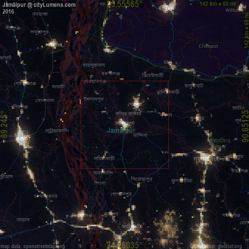
Analysis of Jamālpur night lights 2016
Square area 10x10 km:
 1.14%
1.14%90-99
3.98%80-89
1.89%70-79
3.03%60-69
0.57%50-59
4.17%40-49
3.22%30-39
5.68%20-29
5.49%10-19
6.25%0-9
64.58%Square area 50x50 km:
0.1%90-99
0.32%80-89
0.15%70-79
0.29%60-69
0.22%50-59
0.45%40-49
0.64%30-39
0.92%20-29
0.67%10-19
1.3%0-9
94.93%Clear (daylight) street map image can be seen on geolist.org.
Map coordinates:
25° 33' 20.3" North, 89° 14' 42" East
24° 55' 10.7" North, 89° 56' 53.2" East
24° 16' 49.3" North, 90° 39' 4.5" East
Some cities around Jamālpur sort by population:
• Shibganj
63.7 km =39.6 mi,  278°
278°
• Mymensingh
49.7 km =30.9 mi,  111°
111°
• Bogra
58.7 km =36.5 mi,  262°
262°
• Sirajganj
56.8 km =35.3 mi,  205°
205°
• Sherpur
13.1 km =8.1 mi,  32°
32°
• Sarishābāri
22.1 km =13.7 mi, 212°
• Mankāchar, IN
68.8 km =42.8 mi,  352°
352°
• Muktāgācha
35.6 km =22.1 mi,  118°
118°
1185106 (p: 167,900)
Sources (retrieved 2019-11-25):
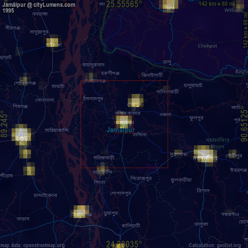
» NASA, Earths city lights 1995
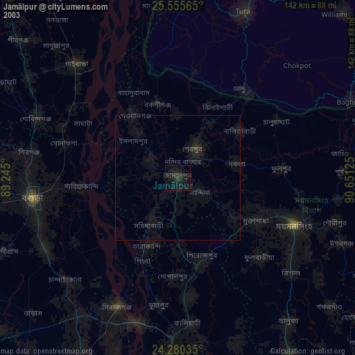
» NASA city lights 2003
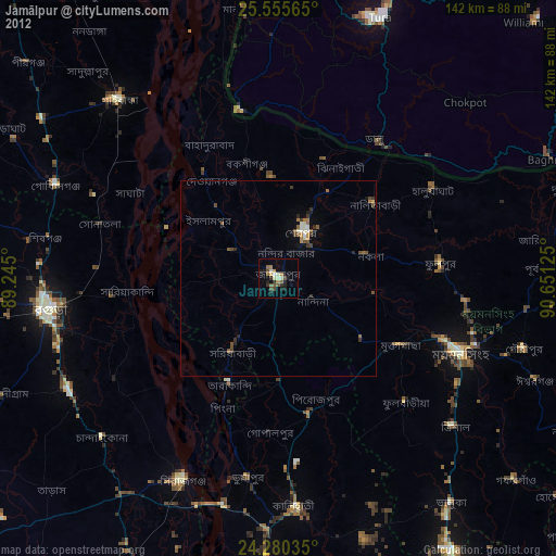
» Earth at Night: Flat Maps 2012, 2016