Dhuburi night lights from space
Night Light of Dhuburi (Assam) from space (India) Src. Average luminocity for 10x10km area is 17.5595% and for 50x50km: 4.1949%.
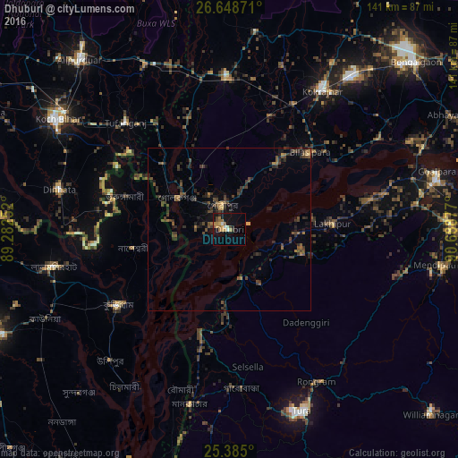
Analysis of Dhuburi night lights 2016
Square area 10x10 km:
 1.19%
1.19%90-99
1.98%80-89
1.79%70-79
3.77%60-69
3.37%50-59
2.98%40-49
1.98%30-39
1.19%20-29
1.39%10-19
16.47%0-9
63.89%Square area 50x50 km:
0.05%90-99
0.08%80-89
0.16%70-79
0.39%60-69
0.65%50-59
0.86%40-49
1.57%30-39
1.53%20-29
1.8%10-19
2.35%0-9
90.56%Clear (daylight) street map image can be seen on geolist.org.
Map coordinates:
26° 38' 55.4" North, 89° 16' 57.1" East
26° 1' 6.8" North, 89° 59' 8.3" East
25° 23' 6" North, 90° 41' 19.6" East
Some cities around Dhuburi sort by population:
• Nageswari, BD
29.9 km =18.6 mi,  259°
259°
• Bilāsipāra
34.4 km =21.4 mi,  46°
46°
• Gauripur
7.6 km =4.7 mi,  341°
341°
• Tufānganj
46.1 km =28.6 mi,  316°
316°
• Lakhipur
32 km =19.9 mi,  87°
87°
• Goshaingaon
46.9 km =29.1 mi,  357°
357°
• Sapatgrām
38 km =23.6 mi,  21°
21°
• Golakganj
18.7 km =11.6 mi,  299°
299°
1272694 (p: 62,525)
Sources (retrieved 2019-11-25):
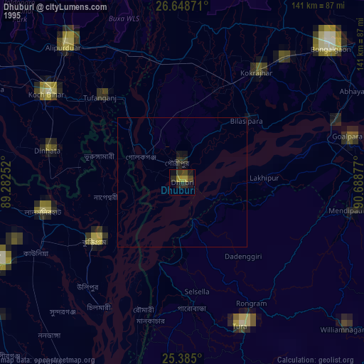
» NASA, Earths city lights 1995
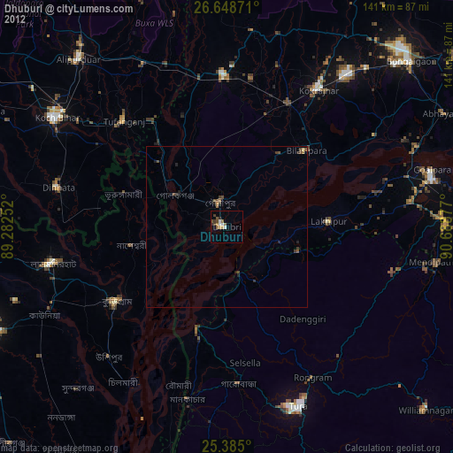
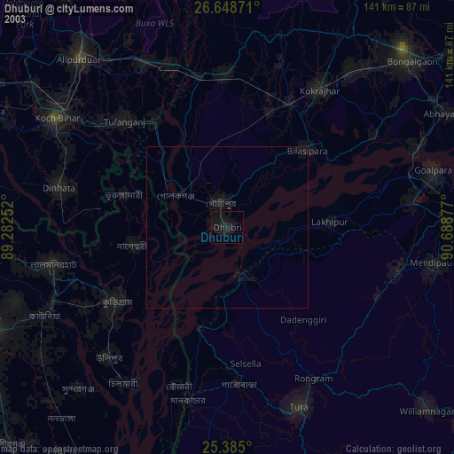
» NASA city lights 2003
» Earth at Night: Flat Maps 2012, 2016