Thrissur night lights from space
Night Light of Thrissur (Kerala) from space (India) Src. Average luminocity for 10x10km area is 63.75% and for 50x50km: 6.4249%.
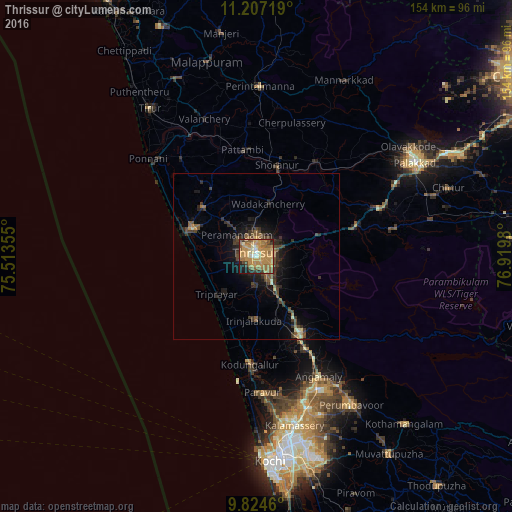
Analysis of Thrissur night lights 2016
Square area 10x10 km:
 1.86%
1.86%90-99
6.2%80-89
7.44%70-79
38.02%60-69
15.5%50-59
12.4%40-49
4.13%30-39
3.72%20-29
5.37%10-19
5.37%0-9
0%Square area 50x50 km:
0.08%90-99
0.4%80-89
0.5%70-79
1.72%60-69
1.01%50-59
1.41%40-49
1.39%30-39
1.65%20-29
1.6%10-19
4.26%0-9
85.98%Clear (daylight) street map image can be seen on geolist.org.
Map coordinates:
11° 12' 25.9" North, 75° 30' 48.8" East
10° 31' 0" North, 76° 13' 0" East
9° 49' 28.6" North, 76° 55' 11.3" East
Some cities around Thrissur sort by population:
• Kunnamkulam
21.8 km =13.5 mi,  311°
311°
• Kizhake Chālakudi
27.4 km =17 mi,  151°
151°
• Shōranūr
27.9 km =17.3 mi,  12°
12°
• Chetwayi
18.5 km =11.5 mi,  274°
274°
• Irinjālakuda
19.4 km =12.1 mi,  181°
181°
• Guruvāyūr
21 km =13 mi,  294°
294°
• Chēlakara
24 km =14.9 mi,  35°
35°
• Thanniyam
14.4 km =8.9 mi,  219°
219°
1254187 (p: 325,110)
Sources (retrieved 2019-11-25):
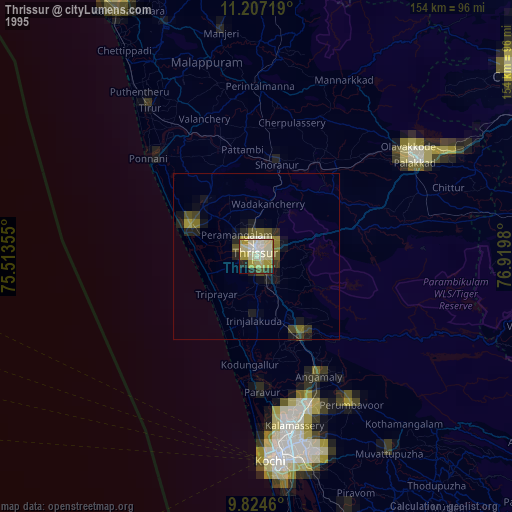
» NASA, Earths city lights 1995
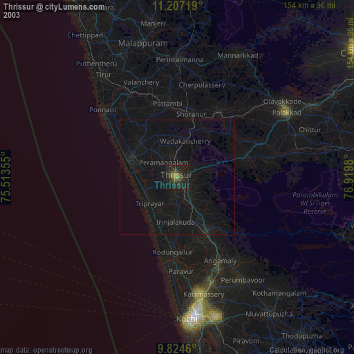
» NASA city lights 2003
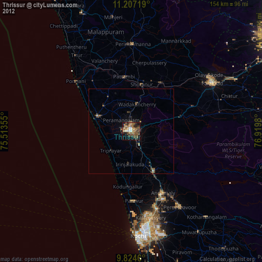
» Earth at Night: Flat Maps 2012, 2016