Guruvāyūr night lights from space
Night Light of Guruvāyūr (Kerala) from space (India) Src. Average luminocity for 10x10km area is 10.905% and for 50x50km: 5.1135%.
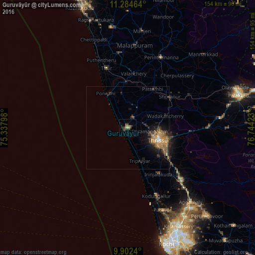
Analysis of Guruvāyūr night lights 2016
Square area 10x10 km:
 0%
0%90-99
0.21%80-89
0.83%70-79
1.65%60-69
1.65%50-59
3.93%40-49
3.1%30-39
1.86%20-29
4.34%10-19
3.93%0-9
78.51%Square area 50x50 km:
0.08%90-99
0.29%80-89
0.4%70-79
1.65%60-69
0.91%50-59
1.14%40-49
0.94%30-39
1.19%20-29
1.34%10-19
3.19%0-9
88.86%Clear (daylight) street map image can be seen on geolist.org.
Map coordinates:
11° 17' 4.7" North, 75° 20' 16.7" East
10° 35' 39.5" North, 76° 2' 28" East
9° 54' 8.6" North, 76° 44' 39.2" East
Some cities around Guruvāyūr sort by population:
• Thrissur
21 km =13 mi,  114°
114°
• Ponnāni
23 km =14.3 mi,  326°
326°
• Kunnamkulam
6.5 km =4 mi,  25°
25°
• Shōranūr
31.3 km =19.4 mi,  53°
53°
• Chetwayi
7.3 km =4.5 mi,  174°
174°
• Irinjālakuda
33.6 km =20.9 mi,  146°
146°
• Chēlakara
34.9 km =21.7 mi,  71°
71°
• Thanniyam
22.2 km =13.8 mi, 152°
1270603 (p: 21,416)
Sources (retrieved 2019-11-25):
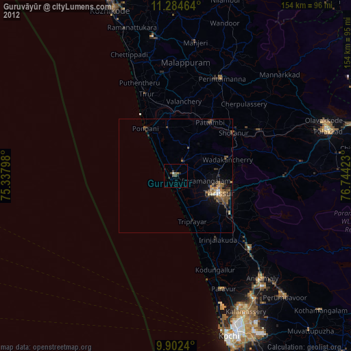
» Earth at Night: Flat Maps 2012, 2016