Chēlakara night lights from space
Night Light of Chēlakara (Kerala) from space (India) Src. Average luminocity for 10x10km area is 0% and for 50x50km: 4.7359%.
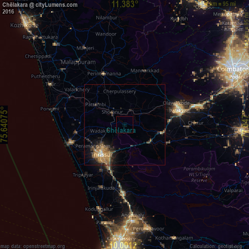
Analysis of Chēlakara night lights 2016
Square area 10x10 km:
 0%
0%90-99
0%80-89
0%70-79
0%60-69
0%50-59
0%40-49
0%30-39
0%20-29
0%10-19
0%0-9
100%Square area 50x50 km:
0.08%90-99
0.25%80-89
0.37%70-79
1.65%60-69
0.75%50-59
1.04%40-49
0.98%30-39
0.92%20-29
1.36%10-19
3.04%0-9
89.57%Clear (daylight) street map image can be seen on geolist.org.
Map coordinates:
11° 22' 58.8" North, 75° 38' 26.7" East
10° 41' 34.4" North, 76° 20' 37.9" East
10° 0' 4.3" North, 77° 2' 49.2" East
Some cities around Chēlakara sort by population:
• Thrissur
24 km =14.9 mi,  215°
215°
• Pālghāt
35 km =21.7 mi,  75°
75°
• Kunnamkulam
30.7 km =19.1 mi,  260°
260°
• Mannārakkāt
35.8 km =22.2 mi,  21°
21°
• Ottappālam
9.7 km =6 mi, 22°
• Shōranūr
11.1 km =6.9 mi,  313°
313°
• Cherpulassery
20.8 km =12.9 mi,  349°
349°
• Guruvāyūr
34.9 km =21.7 mi,  251°
251°
1274450 (p: 8,936)
Sources (retrieved 2019-11-25):
» Earth at Night: Flat Maps 2012, 2016