Irinjālakuda night lights from space
Night Light of Irinjālakuda (Kerala) from space (India) Src. Average luminocity for 10x10km area is 2.1632% and for 50x50km: 9.7072%.
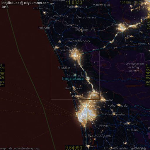
Analysis of Irinjālakuda night lights 2016
Square area 10x10 km:
 0%
0%90-99
0%80-89
0%70-79
0%60-69
0%50-59
1.65%40-49
0%30-39
2.27%20-29
0.21%10-19
0.83%0-9
95.04%Square area 50x50 km:
0.13%90-99
0.72%80-89
0.89%70-79
2.38%60-69
1.67%50-59
2.23%40-49
2.59%30-39
2.35%20-29
2.12%10-19
5.63%0-9
79.29%Clear (daylight) street map image can be seen on geolist.org.
Map coordinates:
11° 1' 59.9" North, 75° 30' 29.2" East
10° 20' 32.6" North, 76° 12' 40.5" East
9° 38' 59.7" North, 76° 54' 51.7" East
Some cities around Irinjālakuda sort by population:
• Thrissur
19.4 km =12.1 mi,  1°
1°
• Kizhake Chālakudi
14.6 km =9.1 mi,  108°
108°
• Chetwayi
27.4 km =17 mi,  319°
319°
• Angamāli
25.7 km =16 mi,  131°
131°
• Kodungallūr
12.3 km =7.6 mi,  188°
188°
• Aluva
30.3 km =18.8 mi,  149°
149°
• Alwaye
30.6 km =19 mi, 149°
• Thanniyam
11.9 km =7.4 mi,  314°
314°
1269693 (p: 29,208)
Sources (retrieved 2019-11-25):
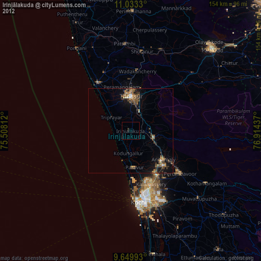
» Earth at Night: Flat Maps 2012, 2016