Kunnamkulam night lights from space
Night Light of Kunnamkulam (Kerala) from space (India) Src. Average luminocity for 10x10km area is 5.8616% and for 50x50km: 5.4697%.
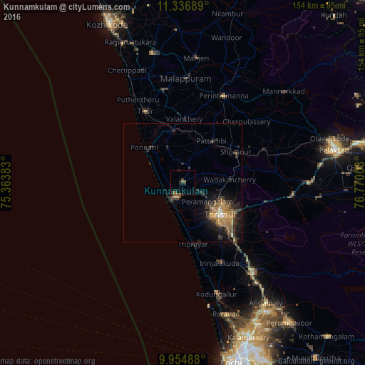

Analysis of Kunnamkulam night lights 2016
Square area 10x10 km:
 0%
0%90-99
0%80-89
0%70-79
0%60-69
2.69%50-59
2.27%40-49
0%30-39
1.65%20-29
2.69%10-19
2.07%0-9
88.64%Square area 50x50 km:
0.08%90-99
0.29%80-89
0.4%70-79
1.65%60-69
0.91%50-59
1.21%40-49
1.12%30-39
1.36%20-29
1.7%10-19
3.87%0-9
87.4%Clear (daylight) street map image can be seen on geolist.org.
Map coordinates:
11° 20' 12.8" North, 75° 21' 49.8" East
10° 38' 48" North, 76° 4' 1" East
9° 57' 17.6" North, 76° 46' 12.3" East
Some cities around Kunnamkulam sort by population:
• Thrissur
21.8 km =13.5 mi,  131°
131°
• Ponnāni
20.5 km =12.7 mi,  310°
310°
• Tirur
33.7 km =20.9 mi,  331°
331°
• Shōranūr
25.7 km =16 mi,  60°
60°
• Chetwayi
13.3 km =8.3 mi,  189°
189°
• Guruvāyūr
6.5 km =4 mi,  205°
205°
• Chēlakara
30.7 km =19.1 mi,  80°
80°
• Thanniyam
26.6 km =16.5 mi,  164°
164°
1265579 (p: 63,903)
Sources (retrieved 2019-11-25):
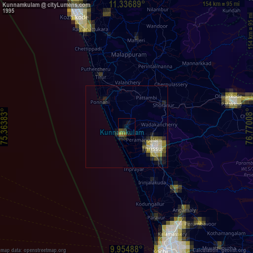
» NASA, Earths city lights 1995
» NASA city lights 2003
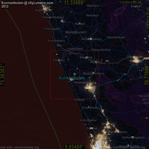
» Earth at Night: Flat Maps 2012, 2016