Chetwayi night lights from space
Night Light of Chetwayi (Kerala) from space (India) Src. Average luminocity for 10x10km area is 0.9091% and for 50x50km: 5.3244%.
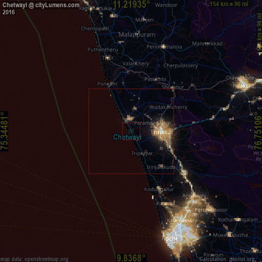
Analysis of Chetwayi night lights 2016
Square area 10x10 km:
 0%
0%90-99
0%80-89
0%70-79
0%60-69
0%50-59
0%40-49
0%30-39
0.41%20-29
0.21%10-19
1.03%0-9
98.35%Square area 50x50 km:
0.08%90-99
0.29%80-89
0.4%70-79
1.65%60-69
0.91%50-59
1.28%40-49
1.08%30-39
1.3%20-29
1.36%10-19
3.32%0-9
88.32%Clear (daylight) street map image can be seen on geolist.org.
Map coordinates:
11° 13' 9.7" North, 75° 20' 41.3" East
10° 31' 43.9" North, 76° 2' 52.5" East
9° 50' 12.5" North, 76° 45' 3.8" East
Some cities around Chetwayi sort by population:
• Thrissur
18.5 km =11.5 mi,  94°
94°
• Ponnāni
29.7 km =18.5 mi,  333°
333°
• Kunnamkulam
13.3 km =8.3 mi,  9°
9°
• Shōranūr
35.6 km =22.1 mi,  43°
43°
• Kodungallūr
36.7 km =22.8 mi,  153°
153°
• Irinjālakuda
27.4 km =17 mi,  139°
139°
• Guruvāyūr
7.3 km =4.5 mi,  354°
354°
• Thanniyam
15.6 km =9.7 mi, 143°
1274468 (p: 38,011)
Sources (retrieved 2019-11-25):
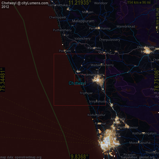
» Earth at Night: Flat Maps 2012, 2016