Bamna night lights from space
Night Light of Bamna (Madhya Pradesh) from space (India) Src. Average luminocity for 10x10km area is 2.6723% and for 50x50km: 2.6459%.
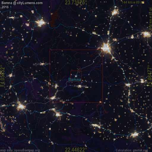
Analysis of Bamna night lights 2016
Square area 10x10 km:
 0%
0%90-99
0%80-89
0%70-79
0.38%60-69
1.14%50-59
0.76%40-49
0%30-39
0.95%20-29
0.76%10-19
0.76%0-9
95.27%Square area 50x50 km:
0.02%90-99
0.35%80-89
0.13%70-79
0.18%60-69
0.28%50-59
0.58%40-49
0.64%30-39
0.82%20-29
1%10-19
1.29%0-9
94.71%Clear (daylight) street map image can be seen on geolist.org.
Map coordinates:
23° 44' 23.1" North, 74° 3' 30.7" East
23° 5' 40.3" North, 74° 45' 41.9" East
22° 26' 46.4" North, 75° 27' 53.2" East
Some cities around Bamna sort by population:
• Ratlām
38.7 km =24 mi,  47°
47°
• Jhābua
40.3 km =25 mi,  205°
205°
• Badnāwar
48.9 km =30.4 mi,  99°
99°
• Rājgarh
50 km =31.1 mi,  157°
157°
• Thandla
21.1 km =13.1 mi,  243°
243°
• Petlāwad
10 km =6.2 mi, 158°
• Sailāna
44.1 km =27.4 mi,  21°
21°
• Kushālgarh
33.8 km =21 mi,  290°
290°
1277455 (p: 9,034)
Sources (retrieved 2019-11-25):
» Earth at Night: Flat Maps 2012, 2016