Thakurdwara night lights from space
Night Light of Thakurdwara (Uttar Pradesh) from space (India) Src. Average luminocity for 10x10km area is 35.748% and for 50x50km: 24.2476%.
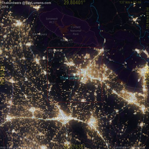
Analysis of Thakurdwara night lights 2016
Square area 10x10 km:
 2.98%
2.98%90-99
6.55%80-89
3.77%70-79
1.79%60-69
5.75%50-59
6.35%40-49
8.53%30-39
8.33%20-29
17.86%10-19
20.83%0-9
17.26%Square area 50x50 km:
1.75%90-99
3.49%80-89
3.33%70-79
2.53%60-69
3.53%50-59
4.87%40-49
5.32%30-39
5.39%20-29
7.33%10-19
14.51%0-9
47.95%Clear (daylight) street map image can be seen on geolist.org.
Map coordinates:
29° 48' 14.4" North, 78° 9' 30" East
29° 11' 31.3" North, 78° 51' 41.2" East
28° 34' 35" North, 79° 33' 52.5" East
Some cities around Thakurdwara sort by population:
• Kashipur
9.6 km =6 mi,  75°
75°
• Seohāra
26.6 km =16.5 mi,  274°
274°
• Tānda
25.2 km =15.7 mi,  161°
161°
• Jaspur
10.2 km =6.3 mi,  341°
341°
• Suār
26.3 km =16.3 mi,  133°
133°
• Kānth
26.9 km =16.7 mi,  236°
236°
• Sahaspur
24.5 km =15.2 mi,  251°
251°
• Bāzpur
24.3 km =15.1 mi,  100°
100°
1254695 (p: 39,860)
Sources (retrieved 2019-11-25):
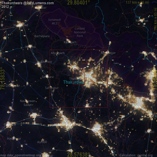
» Earth at Night: Flat Maps 2012, 2016