Jaspur night lights from space
Night Light of Jaspur (Uttarakhand) from space (India) Src. Average luminocity for 10x10km area is 44.8125% and for 50x50km: 20.0928%.
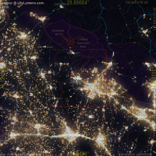
Analysis of Jaspur night lights 2016
Square area 10x10 km:
 3.6%
3.6%90-99
9.28%80-89
4.17%70-79
3.79%60-69
5.49%50-59
7.39%40-49
13.07%30-39
12.31%20-29
23.11%10-19
17.8%0-9
0%Square area 50x50 km:
1.53%90-99
3.29%80-89
3.01%70-79
2.29%60-69
3.03%50-59
3.6%40-49
4.13%30-39
3.94%20-29
6.07%10-19
10.1%0-9
59.01%Clear (daylight) street map image can be seen on geolist.org.
Map coordinates:
29° 53' 26.3" North, 78° 7' 29.5" East
29° 16' 45.1" North, 78° 49' 40.7" East
28° 39' 50.6" North, 79° 31' 52" East
Some cities around Jaspur sort by population:
• Kashipur
14.5 km =9 mi,  120°
120°
• Sherkot
25.2 km =15.7 mi,  282°
282°
• Seohāra
24.5 km =15.2 mi,  251°
251°
• Thakurdwara
10.2 km =6.3 mi,  161°
161°
• Afzalgarh
19.6 km =12.2 mi,  310°
310°
• Sahaspur
26.6 km =16.5 mi,  228°
228°
• Bāzpur
30.6 km =19 mi, 117°
• Kālāgarh Project Colony
22.5 km =14 mi,  349°
349°
1269168 (p: 42,524)
Sources (retrieved 2019-11-25):
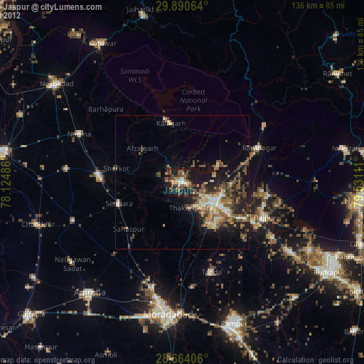
» Earth at Night: Flat Maps 2012, 2016