Seohāra night lights from space
Night Light of Seohāra (Uttar Pradesh) from space (India) Src. Average luminocity for 10x10km area is 24.5794% and for 50x50km: 15.7673%.
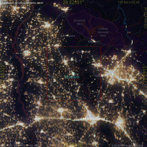
Analysis of Seohāra night lights 2016
Square area 10x10 km:
 0%
0%90-99
5.16%80-89
1.59%70-79
0.99%60-69
1.79%50-59
4.96%40-49
10.12%30-39
3.17%20-29
9.72%10-19
31.94%0-9
30.56%Square area 50x50 km:
0.39%90-99
1.38%80-89
0.9%70-79
1.11%60-69
1.35%50-59
2.44%40-49
4.96%30-39
4.83%20-29
6.31%10-19
22.84%0-9
53.48%Clear (daylight) street map image can be seen on geolist.org.
Map coordinates:
29° 49' 15.3" North, 77° 53' 6.9" East
29° 12' 32.5" North, 78° 35' 18.1" East
28° 35' 36.6" North, 79° 17' 29.4" East
Some cities around Seohāra sort by population:
• Sherkot
13.2 km =8.2 mi,  354°
354°
• Dhāmpur
13.4 km =8.3 mi,  325°
325°
• Nihtaur
23.3 km =14.5 mi,  303°
303°
• Nūrpur
18.7 km =11.6 mi,  249°
249°
• Afzalgarh
22.1 km =13.7 mi,  22°
22°
• Kānth
17.1 km =10.6 mi,  166°
166°
• Sahaspur
10.3 km =6.4 mi,  161°
161°
• Tājpur
11.3 km =7 mi,  242°
242°
1256832 (p: 46,546)
Sources (retrieved 2019-11-25):
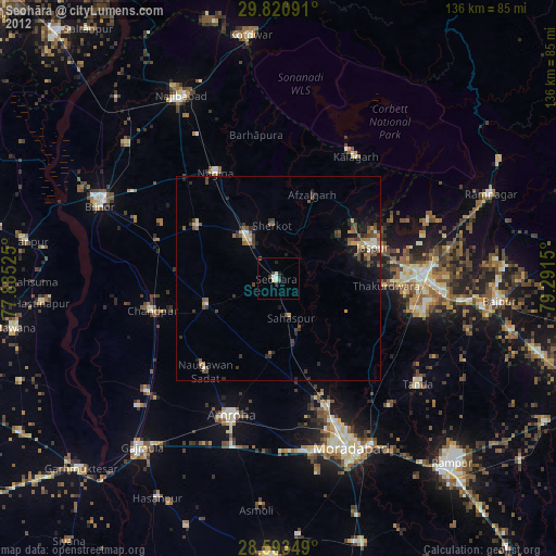
» Earth at Night: Flat Maps 2012, 2016