Bāzpur night lights from space
Night Light of Bāzpur (Uttarakhand) from space (India) Src. Average luminocity for 10x10km area is 63.9623% and for 50x50km: 29.4184%.
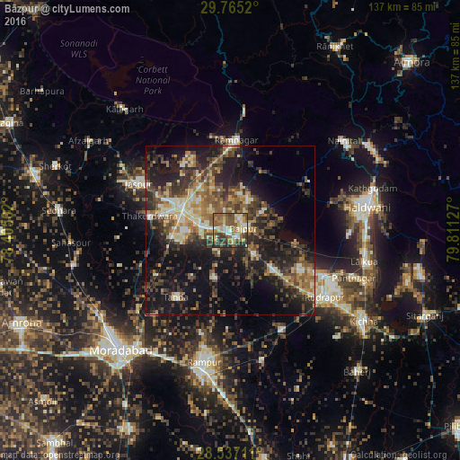
Analysis of Bāzpur night lights 2016
Square area 10x10 km:
 6.35%
6.35%90-99
10.91%80-89
17.06%70-79
6.15%60-69
9.33%50-59
19.84%40-49
12.5%30-39
12.5%20-29
5.36%10-19
0%0-9
0%Square area 50x50 km:
2.06%90-99
3.94%80-89
4.07%70-79
3.41%60-69
4.28%50-59
6.19%40-49
6.34%30-39
7.42%20-29
10.26%10-19
18.02%0-9
34.01%Clear (daylight) street map image can be seen on geolist.org.
Map coordinates:
29° 45' 54.7" North, 78° 24' 18.1" East
29° 9' 10.8" North, 79° 6' 29.3" East
28° 32' 13.6" North, 79° 48' 40.6" East
Some cities around Bāzpur sort by population:
• Kashipur
16.2 km =10.1 mi,  294°
294°
• Rāmnagar
26.7 km =16.6 mi,  4°
4°
• Tānda
25.4 km =15.8 mi,  219°
219°
• Jaspur
30.6 km =19 mi,  297°
297°
• Bīlāspur
33.6 km =20.9 mi,  151°
151°
• Thakurdwara
24.3 km =15.1 mi,  280°
280°
• Suār
14.7 km =9.1 mi,  199°
199°
• Kālādhūngi
27.7 km =17.2 mi,  58°
58°
1276642 (p: 23,900)
Sources (retrieved 2019-11-25):
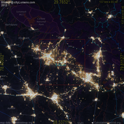
» Earth at Night: Flat Maps 2012, 2016