Surendranagar night lights from space
Night Light of Surendranagar (Gujarat) from space (India) Src. Average luminocity for 10x10km area is 51.6131% and for 50x50km: 7.8596%.
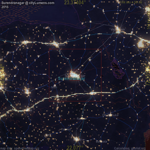
Analysis of Surendranagar night lights 2016
Square area 10x10 km:
 11.31%
90-99
14.88%80-89
7.94%70-79
3.17%60-69
3.77%50-59
4.96%40-49
5.36%30-39
4.56%20-29
16.47%10-19
26.39%0-9
1.19%Square area 50x50 km:
0.51%90-99
1.06%80-89
0.86%70-79
0.68%60-69
1.04%50-59
1.75%40-49
1.05%30-39
1.39%20-29
1.86%10-19
5.23%0-9
84.57%Clear (daylight) street map image can be seen on geolist.org.
Map coordinates:
23° 22' 26.5" North, 70° 56' 43.6" East
22° 43' 37.4" North, 71° 38' 54.8" East
22° 4' 37.2" North, 72° 21' 6.1" East
Some cities around Surendranagar sort by population:
• Dhrāngadhra
34.8 km =21.6 mi,  327°
327°
• Thān
49.1 km =30.5 mi,  249°
249°
• Limbdi
24.5 km =15.2 mi,  137°
137°
• Dhandhuka
51.8 km =32.2 mi, 137°
• Sāyla
26.1 km =16.2 mi,  220°
220°
• Chotila
57.4 km =35.7 mi,  233°
233°
• Lakhtar
20.3 km =12.6 mi,  44°
44°
• Pāliyād
53 km =32.9 mi,  189°
189°
1255349 (p: 179,628)
Sources (retrieved 2019-11-25):
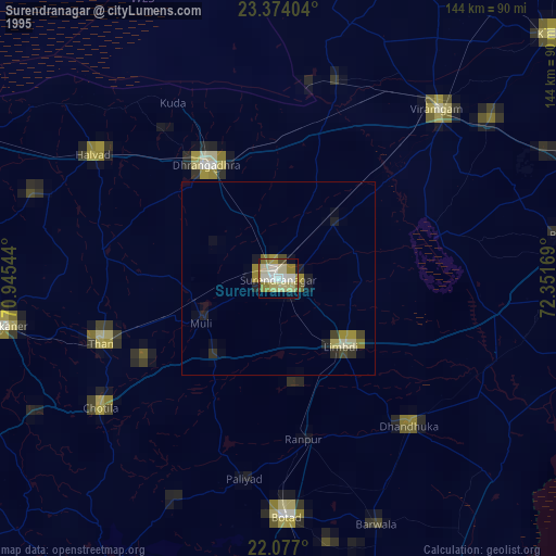
» NASA, Earths city lights 1995
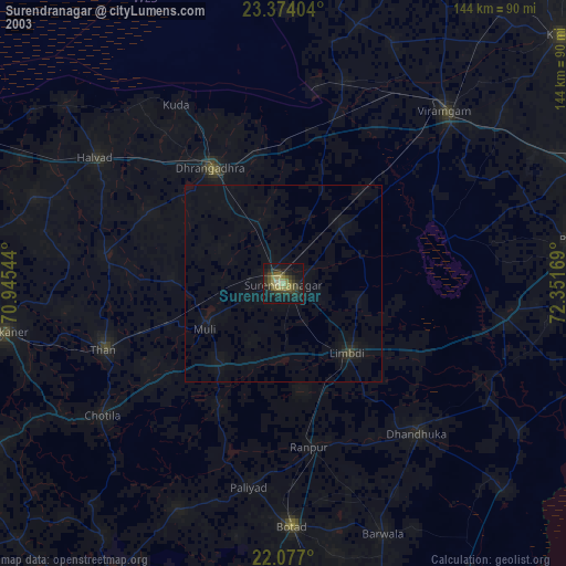
» NASA city lights 2003
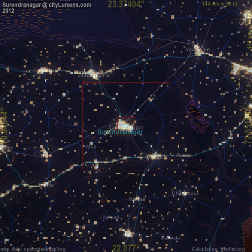
» Earth at Night: Flat Maps 2012, 2016