Dhandhuka night lights from space
Night Light of Dhandhuka (Gujarat) from space (India) Src. Average luminocity for 10x10km area is 10.2027% and for 50x50km: 3.7676%.
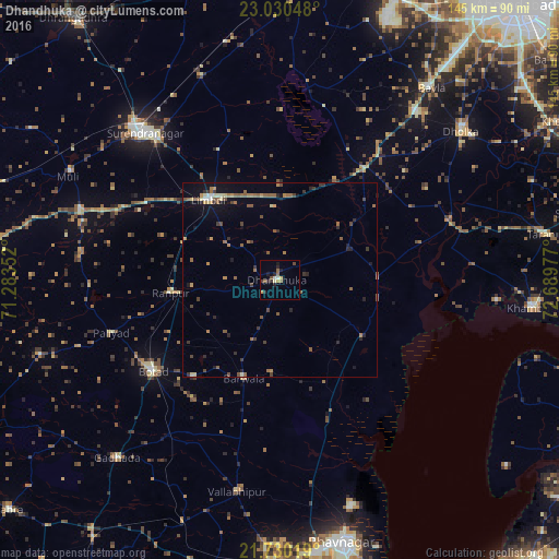
Analysis of Dhandhuka night lights 2016
Square area 10x10 km:
 0%
0%90-99
1.52%80-89
1.7%70-79
1.33%60-69
0.95%50-59
2.08%40-49
1.52%30-39
1.52%20-29
3.41%10-19
2.65%0-9
83.33%Square area 50x50 km:
0.04%90-99
0.31%80-89
0.32%70-79
0.5%60-69
0.75%50-59
1.13%40-49
0.54%30-39
0.77%20-29
0.82%10-19
1.74%0-9
93.07%Clear (daylight) street map image can be seen on geolist.org.
Map coordinates:
23° 1' 49.7" North, 71° 17' 0.7" East
22° 22' 54.7" North, 71° 59' 11.9" East
21° 43' 48.7" North, 72° 41' 23.2" East
Some cities around Dhandhuka sort by population:
• Surendranagar
51.8 km =32.2 mi,  317°
317°
• Botād
40.5 km =25.2 mi,  234°
234°
• Limbdi
27.2 km =16.9 mi, 318°
• Valabhīpur
55.9 km =34.7 mi,  191°
191°
• Sāyla
55 km =34.2 mi,  289°
289°
• Lakhtar
56.6 km =35.2 mi,  338°
338°
• Pāliyād
46 km =28.6 mi,  252°
252°
• Dhola
59.9 km =37.2 mi,  201°
201°
1272970 (p: 30,049)
Sources (retrieved 2019-11-25):
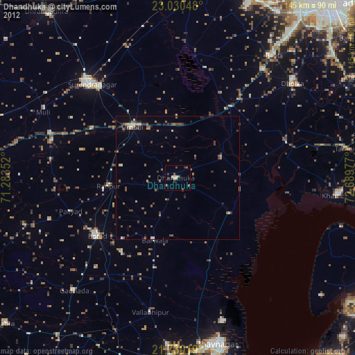
» Earth at Night: Flat Maps 2012, 2016