Sonīpat night lights from space
Night Light of Sonīpat (Haryana) from space (India) Src. Average luminocity for 10x10km area is 74.4623% and for 50x50km: 37.1296%.
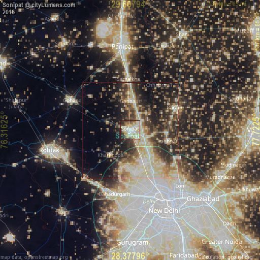
Analysis of Sonīpat night lights 2016
Square area 10x10 km:
 13.1%
13.1%90-99
25.2%80-89
22.22%70-79
5.36%60-69
7.14%50-59
4.76%40-49
6.94%30-39
6.94%20-29
7.14%10-19
1.19%0-9
0%Square area 50x50 km:
3.44%90-99
7.69%80-89
8.15%70-79
3.65%60-69
4.48%50-59
5.48%40-49
6.35%30-39
7.92%20-29
11.08%10-19
12.61%0-9
29.14%Clear (daylight) street map image can be seen on geolist.org.
Map coordinates:
29° 36' 28.6" North, 76° 18' 58.5" East
28° 59' 41.2" North, 77° 1' 9.7" East
28° 22' 40.7" North, 77° 43' 21" East
Some cities around Sonīpat sort by population:
• Narela
17.3 km =10.7 mi,  155°
155°
• Baraut
26.5 km =16.5 mi,  63°
63°
• Bāghpat
20.2 km =12.6 mi,  105°
105°
• Samālkha
26.8 km =16.7 mi,  358°
358°
• Bawāna
21.9 km =13.6 mi,  176°
176°
• Kharkhauda
16.7 km =10.4 mi,  219°
219°
• Alīpur
24.5 km =15.2 mi,  153°
153°
• Chhaprauli
28.3 km =17.6 mi,  32°
32°
1255744 (p: 250,521)
Sources (retrieved 2019-11-25):
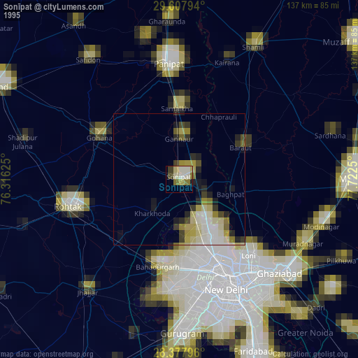
» NASA, Earths city lights 1995
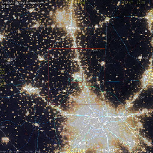
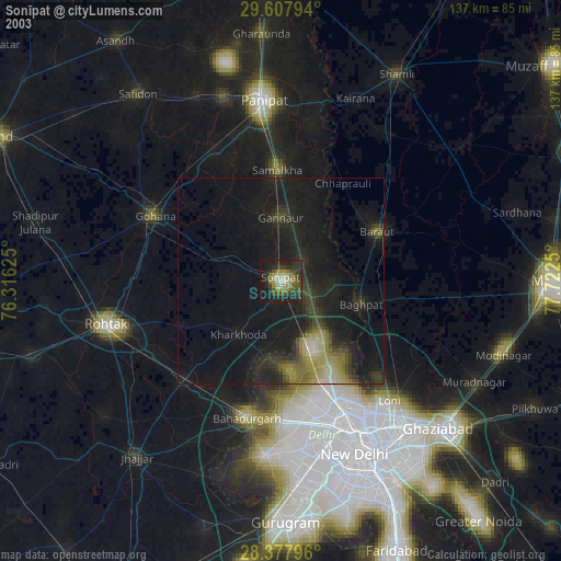
» NASA city lights 2003
» Earth at Night: Flat Maps 2012, 2016