Baraut night lights from space
Night Light of Baraut (Uttar Pradesh) from space (India) Src. Average luminocity for 10x10km area is 53.9524% and for 50x50km: 36.9639%.
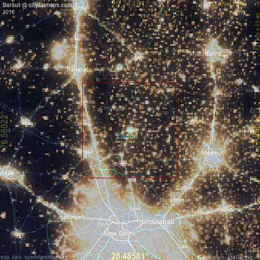
Analysis of Baraut night lights 2016
Square area 10x10 km:
 5.56%
5.56%90-99
10.32%80-89
7.34%70-79
4.37%60-69
6.55%50-59
14.09%40-49
15.48%30-39
16.67%20-29
18.65%10-19
0.99%0-9
0%Square area 50x50 km:
2%90-99
5.4%80-89
5.16%70-79
3.37%60-69
4.17%50-59
7.14%40-49
9.26%30-39
10.42%20-29
16.93%10-19
29.27%0-9
6.89%Clear (daylight) street map image can be seen on geolist.org.
Map coordinates:
29° 42' 52.2" North, 76° 33' 36.8" East
29° 6' 7.2" North, 77° 15' 48" East
28° 29' 8.9" North, 77° 57' 59.3" East
Some cities around Baraut sort by population:
• Sonīpat
26.5 km =16.5 mi,  243°
243°
• Kāndhla
24.4 km =15.2 mi,  1°
1°
• Khekra
26.3 km =16.3 mi,  175°
175°
• Bāghpat
18 km =11.2 mi,  193°
193°
• Samālkha
28.5 km =17.7 mi,  301°
301°
• Budhāna
29.2 km =18.1 mi,  44°
44°
• Chhaprauli
14.8 km =9.2 mi,  324°
324°
• Tīkri
16.7 km =10.4 mi,  32°
32°
1277044 (p: 93,544)
Sources (retrieved 2019-11-25):
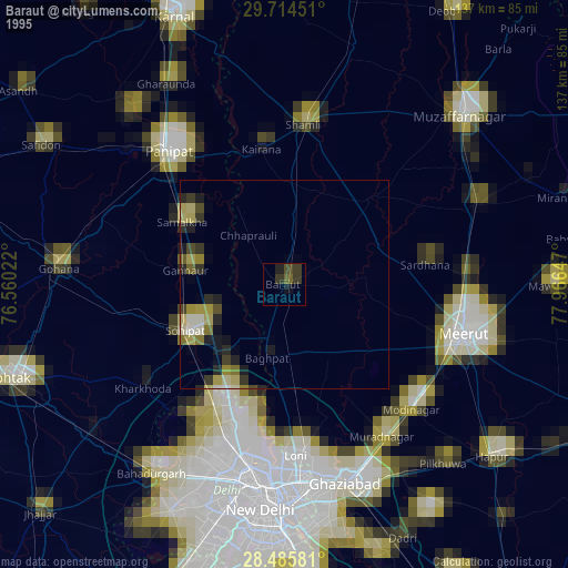
» NASA, Earths city lights 1995
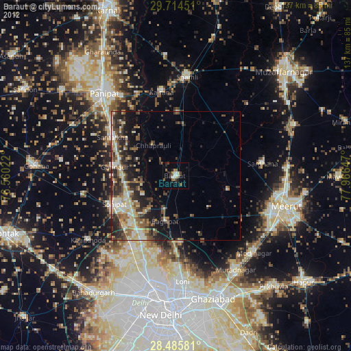
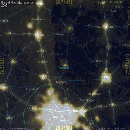
» NASA city lights 2003
» Earth at Night: Flat Maps 2012, 2016