Samālkha night lights from space
Night Light of Samālkha (Haryana) from space (India) Src. Average luminocity for 10x10km area is 50.2778% and for 50x50km: 32.5974%.
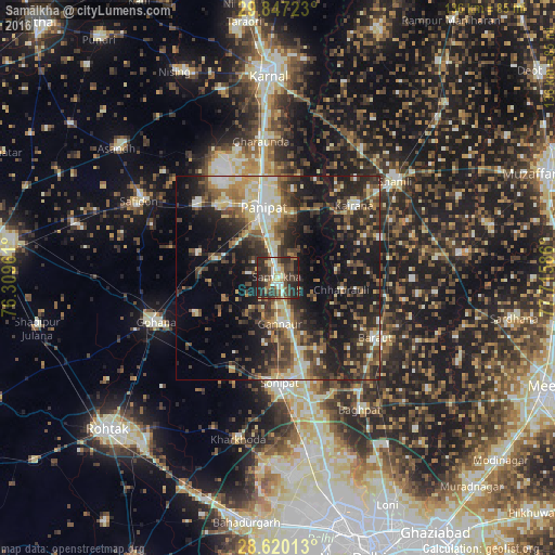
Analysis of Samālkha night lights 2016
Square area 10x10 km:
 6.15%
6.15%90-99
7.94%80-89
8.53%70-79
3.57%60-69
5.95%50-59
6.75%40-49
14.09%30-39
16.27%20-29
27.38%10-19
3.37%0-9
0%Square area 50x50 km:
2.7%90-99
5.27%80-89
5.18%70-79
2.92%60-69
3.77%50-59
5.78%40-49
7.52%30-39
7.69%20-29
12.03%10-19
19.39%0-9
27.76%Clear (daylight) street map image can be seen on geolist.org.
Map coordinates:
29° 50' 50" North, 76° 18' 34.6" East
29° 14' 7.9" North, 77° 0' 45.8" East
28° 37' 12.5" North, 77° 42' 57.1" East
Some cities around Samālkha sort by population:
• Pānīpat
17.4 km =10.8 mi,  345°
345°
• Sonīpat
26.8 km =16.7 mi,  178°
178°
• Baraut
28.5 km =17.7 mi,  121°
121°
• Kairāna
25.8 km =16 mi,  46°
46°
• Gohāna
32 km =19.9 mi,  250°
250°
• Kāndhla
26.8 km =16.7 mi,  69°
69°
• Chhaprauli
16 km =9.9 mi,  100°
100°
• Tīkri
33.2 km =20.6 mi,  91°
91°
1257566 (p: 35,620)
Sources (retrieved 2019-11-25):
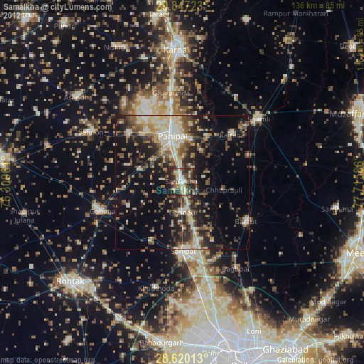
» Earth at Night: Flat Maps 2012, 2016