Bāghpat night lights from space
Night Light of Bāghpat (Uttar Pradesh) from space (India) Src. Average luminocity for 10x10km area is 43.1151% and for 50x50km: 51.3889%.
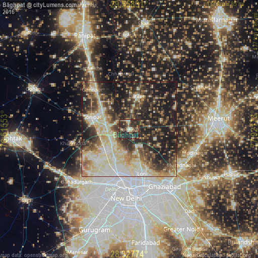
Analysis of Bāghpat night lights 2016
Square area 10x10 km:
 1.98%
1.98%90-99
6.35%80-89
4.76%70-79
4.96%60-69
4.96%50-59
6.15%40-49
9.33%30-39
19.84%20-29
40.08%10-19
1.59%0-9
0%Square area 50x50 km:
6.72%90-99
10.88%80-89
10.42%70-79
4.72%60-69
6.27%50-59
7.88%40-49
8.4%30-39
9.92%20-29
15.51%10-19
18.33%0-9
0.95%Clear (daylight) street map image can be seen on geolist.org.
Map coordinates:
29° 33' 29.9" North, 76° 30' 55.9" East
28° 56' 41.5" North, 77° 13' 7.1" East
28° 19' 39.9" North, 77° 55' 18.4" East
Some cities around Bāghpat sort by population:
• Rohini
26.8 km =16.7 mi,  213°
213°
• Narela
16 km =9.9 mi,  230°
230°
• Sonīpat
20.2 km =12.6 mi,  285°
285°
• Loni
22.6 km =14 mi,  162°
162°
• Baraut
18 km =11.2 mi,  13°
13°
• Khekra
10.9 km =6.8 mi,  144°
144°
• Bawāna
24.2 km =15 mi, 227°
• Alīpur
18.3 km =11.4 mi, 207°
1277882 (p: 41,766)
Sources (retrieved 2019-11-25):
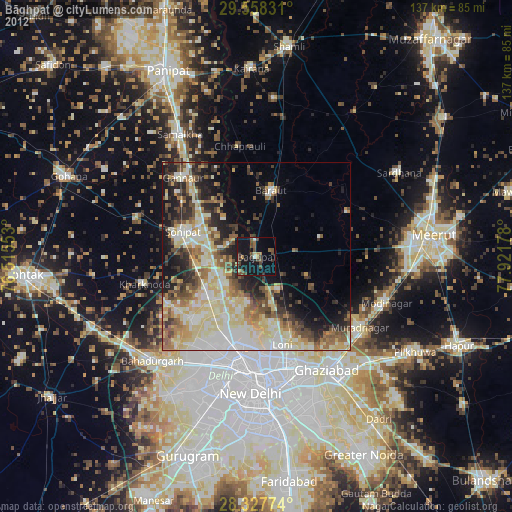
» Earth at Night: Flat Maps 2012, 2016