Shirpur night lights from space
Night Light of Shirpur (Maharashtra) from space (India) Src. Average luminocity for 10x10km area is 29.4337% and for 50x50km: 4.0627%.
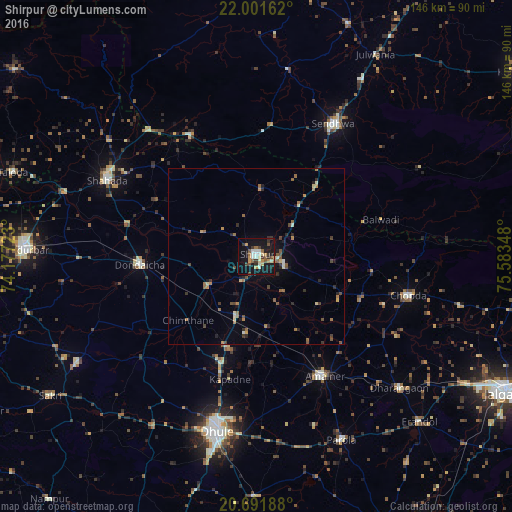
Analysis of Shirpur night lights 2016
Square area 10x10 km:
 1.7%
1.7%90-99
7.2%80-89
2.84%70-79
4.92%60-69
2.65%50-59
3.98%40-49
3.22%30-39
6.06%20-29
2.08%10-19
41.1%0-9
24.24%Square area 50x50 km:
0.07%90-99
0.57%80-89
0.4%70-79
0.46%60-69
0.9%50-59
0.69%40-49
0.68%30-39
0.64%20-29
0.78%10-19
2.6%0-9
92.2%Clear (daylight) street map image can be seen on geolist.org.
Map coordinates:
22° 0' 5.8" North, 74° 10' 38" East
21° 20' 53.6" North, 74° 52' 49.3" East
20° 41' 30.8" North, 75° 35' 0.5" East
Some cities around Shirpur sort by population:
• Dhūlia
50.8 km =31.6 mi,  192°
192°
• Amalner
39 km =24.2 mi,  151°
151°
• Chopda
44.9 km =27.9 mi,  104°
104°
• Shāhāda
47.7 km =29.6 mi,  297°
297°
• Sendhwa
43.7 km =27.2 mi,  30°
30°
• Dondaicha
32.5 km =20.2 mi,  265°
265°
• Khetia
47.1 km =29.3 mi,  319°
319°
• Pānsemāl
39.4 km =24.5 mi,  331°
331°
1256475 (p: 69,540)
Sources (retrieved 2019-11-25):
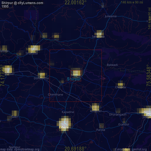
» NASA, Earths city lights 1995
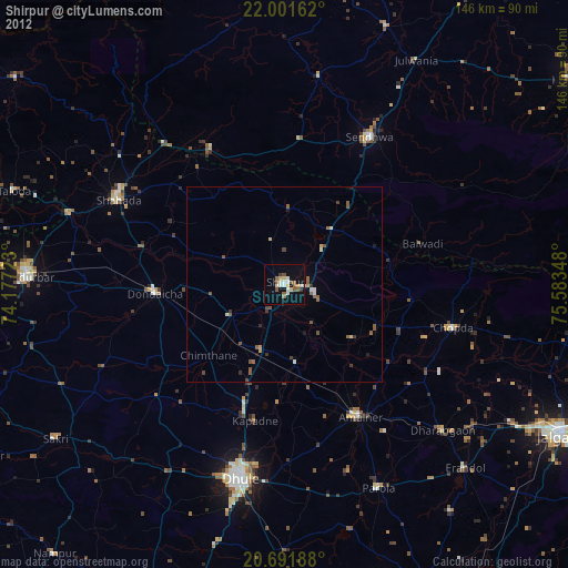
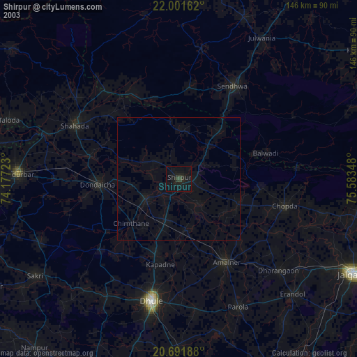
» NASA city lights 2003
» Earth at Night: Flat Maps 2012, 2016