Dhūlia night lights from space
Night Light of Dhūlia (Maharashtra) from space (India) Src. Average luminocity for 10x10km area is 68.6071% and for 50x50km: 7.0851%.
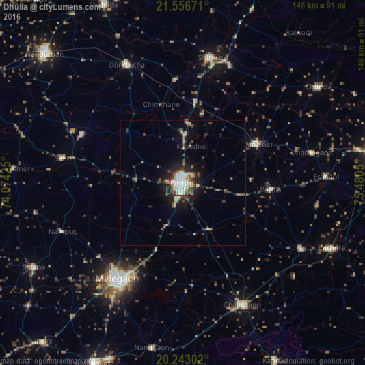
Analysis of Dhūlia night lights 2016
Square area 10x10 km:
 13.29%
90-99
29.96%80-89
5.16%70-79
5.36%60-69
6.15%50-59
7.74%40-49
6.94%30-39
9.33%20-29
14.09%10-19
1.98%0-9
0%Square area 50x50 km:
0.56%90-99
1.61%80-89
0.64%70-79
0.61%60-69
0.75%50-59
1.05%40-49
1.18%30-39
1.24%20-29
2.25%10-19
4.27%0-9
85.84%Clear (daylight) street map image can be seen on geolist.org.
Map coordinates:
21° 33' 24.2" North, 74° 4' 27.3" East
20° 54' 4.7" North, 74° 46' 38.5" East
20° 14' 34.9" North, 75° 28' 49.8" East
Some cities around Dhūlia sort by population:
• Mālegaon
46.5 km =28.9 mi,  212°
212°
• Amalner
33 km =20.5 mi,  62°
62°
• Chālisgaon
55.2 km =34.3 mi,  153°
153°
• Shirpur
50.8 km =31.6 mi,  12°
12°
• Dondaicha
51.7 km =32.1 mi,  335°
335°
• Parola
35.6 km =22.1 mi,  93°
93°
• Dharangaon
53 km =32.9 mi,  76°
76°
• Erandol
57.1 km =35.5 mi, 87°
1272691 (p: 366,980)
Sources (retrieved 2019-11-25):
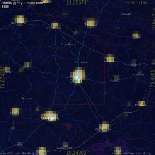
» NASA, Earths city lights 1995
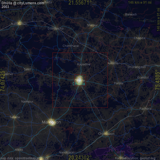
» NASA city lights 2003
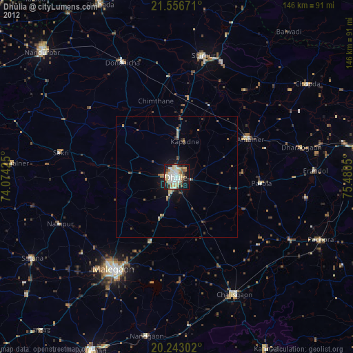
» Earth at Night: Flat Maps 2012, 2016