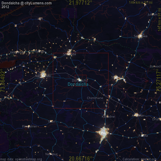
Dondaicha night lights from space
Night Light of Dondaicha (Maharashtra) from space (India) Src. Average luminocity for 10x10km area is 12.4773% and for 50x50km: 2.6604%.
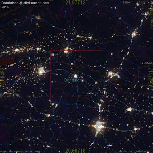
Analysis of Dondaicha night lights 2016
Square area 10x10 km:
 0.57%
0.57%90-99
3.6%80-89
2.65%70-79
0.76%60-69
0.76%50-59
0.95%40-49
1.33%30-39
0.95%20-29
2.84%10-19
1.89%0-9
83.71%Square area 50x50 km:
0.06%90-99
0.35%80-89
0.3%70-79
0.31%60-69
0.35%50-59
0.56%40-49
0.49%30-39
0.45%20-29
0.54%10-19
1.08%0-9
95.5%Clear (daylight) street map image can be seen on geolist.org.
Map coordinates:
21° 58' 37.6" North, 73° 51' 53.7" East
21° 19' 25" North, 74° 34' 4.9" East
20° 40' 1.8" North, 75° 16' 16.2" East
Some cities around Dondaicha sort by population:
• Dhūlia
51.7 km =32.1 mi,  155°
155°
• Nandurbar
34.3 km =21.3 mi,  278°
278°
• Amalner
59.9 km =37.2 mi,  121°
121°
• Shirpur
32.5 km =20.2 mi,  85°
85°
• Shāhāda
26.6 km =16.5 mi,  337°
337°
• Taloda
45.3 km =28.1 mi,  305°
305°
• Khetia
38.7 km =24 mi,  2°
2°
• Pānsemāl
39.8 km =24.7 mi,  19°
19°
1272411 (p: 46,018)
Sources (retrieved 2019-11-25):
» Earth at Night: Flat Maps 2012, 2016