Chopda night lights from space
Night Light of Chopda (Maharashtra) from space (India) Src. Average luminocity for 10x10km area is 15.7063% and for 50x50km: 4.2831%.
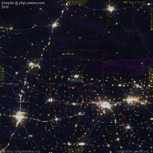
Analysis of Chopda night lights 2016
Square area 10x10 km:
 0.2%
0.2%90-99
4.17%80-89
0.4%70-79
1.19%60-69
1.79%50-59
4.96%40-49
4.37%30-39
0.2%20-29
1.19%10-19
2.78%0-9
78.77%Square area 50x50 km:
0.03%90-99
0.48%80-89
0.45%70-79
0.43%60-69
0.72%50-59
0.8%40-49
1.04%30-39
1.08%20-29
1.27%10-19
1.4%0-9
92.3%Clear (daylight) street map image can be seen on geolist.org.
Map coordinates:
21° 53' 58.7" North, 74° 35' 46.8" East
21° 14' 44.8" North, 75° 17' 58.1" East
20° 35' 20.4" North, 76° 0' 9.3" East
Some cities around Chopda sort by population:
• Jalgaon
38.6 km =24 mi,  134°
134°
• Amalner
33.9 km =21.1 mi,  227°
227°
• Shirpur
44.9 km =27.9 mi,  284°
284°
• Sendhwa
53.2 km =33.1 mi,  336°
336°
• Parola
44.7 km =27.8 mi,  204°
204°
• Dharangaon
26.1 km =16.2 mi,  185°
185°
• Yāval
42.2 km =26.2 mi,  101°
101°
• Erandol
36.1 km =22.4 mi,  175°
175°
1273992 (p: 65,598)
Sources (retrieved 2019-11-25):
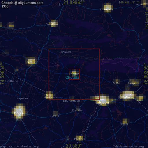
» NASA, Earths city lights 1995
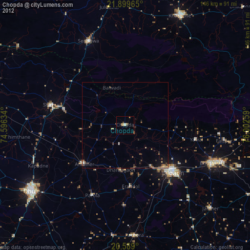
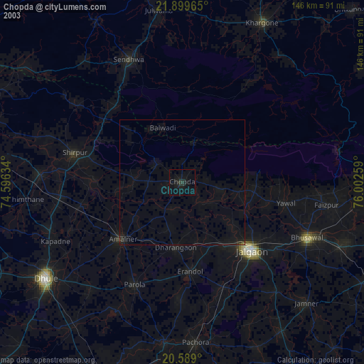
» NASA city lights 2003
» Earth at Night: Flat Maps 2012, 2016