Sendhwa night lights from space
Night Light of Sendhwa (Madhya Pradesh) from space (India) Src. Average luminocity for 10x10km area is 23.9905% and for 50x50km: 2.6764%.
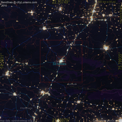
Analysis of Sendhwa night lights 2016
Square area 10x10 km:
 1.7%
1.7%90-99
7.01%80-89
1.89%70-79
1.33%60-69
1.89%50-59
3.98%40-49
4.17%30-39
5.11%20-29
1.89%10-19
19.13%0-9
51.89%Square area 50x50 km:
0.07%90-99
0.53%80-89
0.22%70-79
0.21%60-69
0.54%50-59
0.39%40-49
0.41%30-39
0.55%20-29
0.57%10-19
1.17%0-9
95.35%Clear (daylight) street map image can be seen on geolist.org.
Map coordinates:
22° 20' 15" North, 74° 23' 35.2" East
21° 41' 8.2" North, 75° 5' 46.4" East
21° 1' 50.8" North, 75° 47' 57.7" East
Some cities around Sendhwa sort by population:
• Khargone
55.6 km =34.5 mi,  74°
74°
• Shirpur
43.7 km =27.2 mi,  210°
210°
• Chopda
53.2 km =33.1 mi,  156°
156°
• Barwāni
43.6 km =27.1 mi,  332°
332°
• Anjad
39.8 km =24.7 mi,  353°
353°
• Rajpur
28.6 km =17.8 mi,  8°
8°
• Khetia
52.8 km =32.8 mi,  268°
268°
• Pānsemāl
41.1 km =25.5 mi, 265°
1256854 (p: 54,530)
Sources (retrieved 2019-11-25):
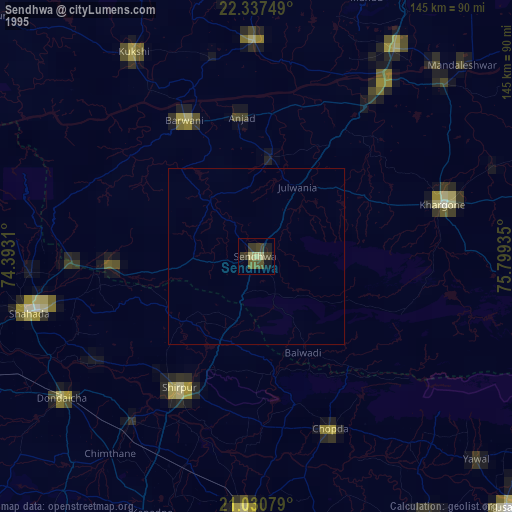
» NASA, Earths city lights 1995
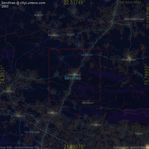
» NASA city lights 2003
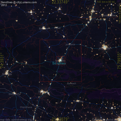
» Earth at Night: Flat Maps 2012, 2016