Sheopur night lights from space
Night Light of Sheopur (Madhya Pradesh) from space (India) Src. Average luminocity for 10x10km area is 42.8239% and for 50x50km: 8.4626%.
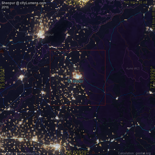
Analysis of Sheopur night lights 2016
Square area 10x10 km:
 6.25%
6.25%90-99
8.71%80-89
4.55%70-79
5.3%60-69
7.01%50-59
5.87%40-49
5.49%30-39
6.63%20-29
11.55%10-19
33.33%0-9
5.3%Square area 50x50 km:
0.38%90-99
0.83%80-89
0.84%70-79
0.96%60-69
1.11%50-59
1.57%40-49
1.57%30-39
1.84%20-29
1.78%10-19
6.33%0-9
82.79%Clear (daylight) street map image can be seen on geolist.org.
Map coordinates:
26° 17' 48.4" North, 75° 59' 34.9" East
25° 39' 53" North, 76° 41' 46.2" East
25° 1' 45.4" North, 77° 23' 57.4" East
Some cities around Sheopur sort by population:
• Sawāi Mādhopur
53.2 km =33.1 mi,  318°
318°
• Bārān
65.3 km =40.6 mi,  196°
196°
• Anta
69.7 km =43.3 mi,  214°
214°
• Lākheri
52 km =32.3 mi,  270°
270°
• Māngrol
41.6 km =25.8 mi, 206°
• Keshorai Pātan
86.5 km =53.7 mi,  241°
241°
• Kāpren
68.7 km =42.7 mi,  245°
245°
• Nainwa
85.6 km =53.2 mi,  277°
277°
1256593 (p: 62,416)
Sources (retrieved 2019-11-25):
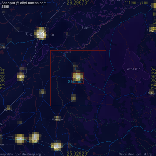
» NASA, Earths city lights 1995
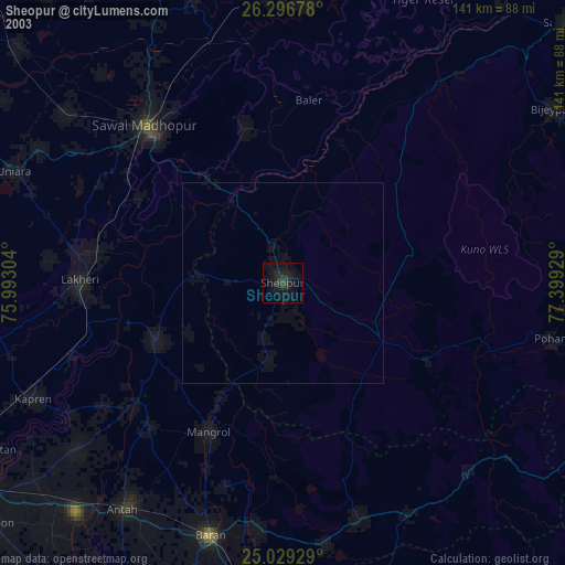
» NASA city lights 2003
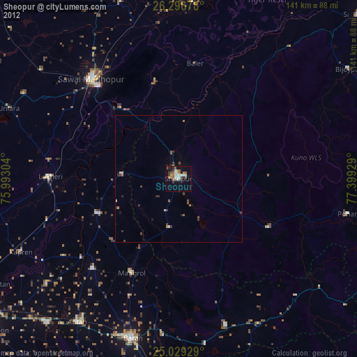
» Earth at Night: Flat Maps 2012, 2016