Sawāi Mādhopur night lights from space
Night Light of Sawāi Mādhopur (Rajasthan) from space (India) Src. Average luminocity for 10x10km area is 53.8214% and for 50x50km: 8.266%.
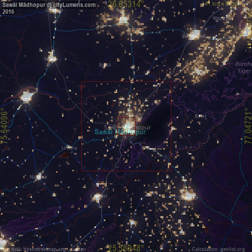

Analysis of Sawāi Mādhopur night lights 2016
Square area 10x10 km:
 5.56%
5.56%90-99
15.08%80-89
9.52%70-79
3.17%60-69
7.94%50-59
5.95%40-49
12.9%30-39
11.11%20-29
14.48%10-19
14.29%0-9
0%Square area 50x50 km:
0.33%90-99
0.98%80-89
0.74%70-79
1%60-69
1.12%50-59
1.2%40-49
2.1%30-39
2.33%20-29
2.67%10-19
5.34%0-9
82.18%Clear (daylight) street map image can be seen on geolist.org.
Map coordinates:
26° 39' 11.3" North, 75° 38' 27.5" East
26° 1' 22.8" North, 76° 20' 38.7" East
25° 23' 22.1" North, 77° 2' 50" East
Some cities around Sawāi Mādhopur sort by population:
• Tonk
57.7 km =35.9 mi,  286°
286°
• Gangāpur
62.3 km =38.7 mi,  36°
36°
• Sheopur
53.2 km =33.1 mi,  138°
138°
• Niwai
56.7 km =35.2 mi,  311°
311°
• Lālsot
59.7 km =37.1 mi,  358°
358°
• Lākheri
42.4 km =26.3 mi,  203°
203°
• Kāpren
73.8 km =45.9 mi, 201°
• Nainwa
56.8 km =35.3 mi,  240°
240°
1256949 (p: 108,612)
Sources (retrieved 2019-11-25):
» NASA, Earths city lights 1995
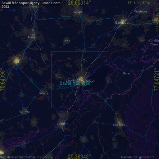
» NASA city lights 2003
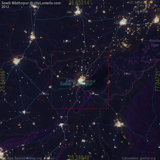
» Earth at Night: Flat Maps 2012, 2016