Keshorai Pātan night lights from space
Night Light of Keshorai Pātan (Rajasthan) from space (India) Src. Average luminocity for 10x10km area is 30.3175% and for 50x50km: 24.1293%.
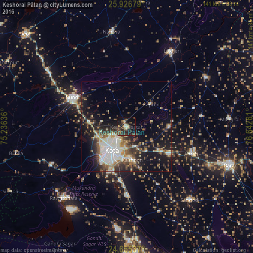
Analysis of Keshorai Pātan night lights 2016
Square area 10x10 km:
 0.99%
0.99%90-99
3.17%80-89
2.58%70-79
4.17%60-69
2.98%50-59
5.36%40-49
7.14%30-39
13.49%20-29
13.89%10-19
27.58%0-9
18.65%Square area 50x50 km:
3.46%90-99
5.62%80-89
2.03%70-79
2.41%60-69
2.55%50-59
3.22%40-49
4.36%30-39
4.81%20-29
6.33%10-19
15.17%0-9
50.04%Clear (daylight) street map image can be seen on geolist.org.
Map coordinates:
25° 55' 36.4" North, 75° 14' 10.9" East
25° 17' 33.9" North, 75° 56' 22.1" East
24° 39' 19.3" North, 76° 38' 33.4" East
Some cities around Keshorai Pātan sort by population:
• Kota
15.9 km =9.9 mi,  219°
219°
• Būndi
34.4 km =21.4 mi,  298°
298°
• Rāwatbhāta
53.4 km =33.2 mi, 220°
• Anta
39.6 km =24.6 mi,  113°
113°
• Lākheri
48.5 km =30.1 mi,  29°
29°
• Sangod
53.6 km =33.3 mi,  139°
139°
• Kāpren
18.4 km =11.4 mi,  47°
47°
• Nainwa
54 km =33.6 mi,  350°
350°
1267226 (p: 23,464)
Sources (retrieved 2019-11-25):
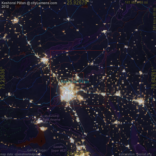
» Earth at Night: Flat Maps 2012, 2016