Māngrol night lights from space
Night Light of Māngrol (Rajasthan) from space (India) Src. Average luminocity for 10x10km area is 13.9583% and for 50x50km: 11.5063%.
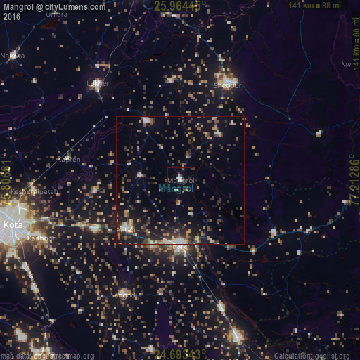
Analysis of Māngrol night lights 2016
Square area 10x10 km:
 1.79%
1.79%90-99
2.58%80-89
1.19%70-79
0%60-69
1.39%50-59
0.6%40-49
3.77%30-39
1.79%20-29
3.57%10-19
3.37%0-9
79.96%Square area 50x50 km:
0.6%90-99
1.31%80-89
0.8%70-79
1.34%60-69
1.32%50-59
1.66%40-49
2.51%30-39
2.88%20-29
4.11%10-19
8.34%0-9
75.12%Clear (daylight) street map image can be seen on geolist.org.
Map coordinates:
25° 57' 52" North, 75° 48' 23.8" East
25° 19' 50.2" North, 76° 30' 35" East
24° 41' 36.3" North, 77° 12' 46.3" East
Some cities around Māngrol sort by population:
• Bārān
25.7 km =16 mi,  178°
178°
• Sheopur
41.6 km =25.8 mi,  26°
26°
• Anta
29.1 km =18.1 mi,  226°
226°
• Lākheri
50.6 km =31.4 mi,  318°
318°
• Keshorai Pātan
57.5 km =35.7 mi,  265°
265°
• Sangod
50.2 km =31.2 mi,  206°
206°
• Kāpren
44.5 km =27.7 mi,  280°
280°
• Khānpur
67.5 km =41.9 mi,  189°
189°
1263751 (p: 23,896)
Sources (retrieved 2019-11-25):
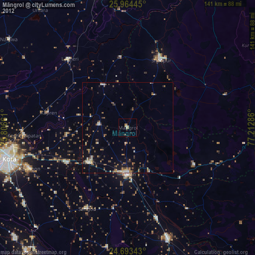
» Earth at Night: Flat Maps 2012, 2016