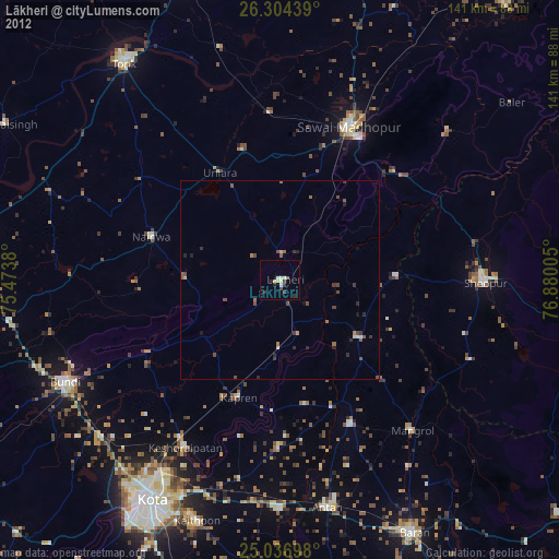
Lākheri night lights from space
Night Light of Lākheri (Rajasthan) from space (India) Src. Average luminocity for 10x10km area is 21.3864% and for 50x50km: 3.7701%.
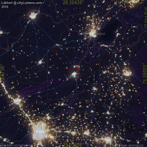
Analysis of Lākheri night lights 2016
Square area 10x10 km:
 2.46%
2.46%90-99
4.92%80-89
1.7%70-79
1.52%60-69
1.52%50-59
1.89%40-49
3.79%30-39
2.27%20-29
3.41%10-19
25.57%0-9
50.95%Square area 50x50 km:
0.23%90-99
0.43%80-89
0.17%70-79
0.35%60-69
0.48%50-59
0.69%40-49
0.73%30-39
1.1%20-29
1.18%10-19
1.69%0-9
92.94%Clear (daylight) street map image can be seen on geolist.org.
Map coordinates:
26° 18' 15.8" North, 75° 28' 25.7" East
25° 40' 20.5" North, 76° 10' 36.9" East
25° 2' 13.1" North, 76° 52' 48.2" East
Some cities around Lākheri sort by population:
• Sawāi Mādhopur
42.4 km =26.3 mi,  23°
23°
• Būndi
60 km =37.3 mi,  244°
244°
• Sheopur
52 km =32.3 mi,  90°
90°
• Anta
59.4 km =36.9 mi,  167°
167°
• Māngrol
50.6 km =31.4 mi,  138°
138°
• Keshorai Pātan
48.5 km =30.1 mi,  209°
209°
• Kāpren
31.4 km =19.5 mi,  199°
199°
• Nainwa
34.6 km =21.5 mi,  288°
288°
1265246 (p: 28,463)
Sources (retrieved 2019-11-25):
» Earth at Night: Flat Maps 2012, 2016