Bārān night lights from space
Night Light of Bārān (Rajasthan) from space (India) Src. Average luminocity for 10x10km area is 56.1364% and for 50x50km: 14.7389%.
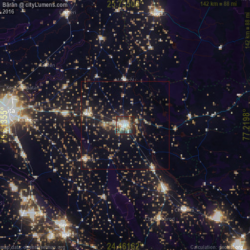
Analysis of Bārān night lights 2016
Square area 10x10 km:
 8.33%
8.33%90-99
16.1%80-89
4.55%70-79
6.06%60-69
7.95%50-59
4.92%40-49
11.55%30-39
15.15%20-29
21.78%10-19
3.6%0-9
0%Square area 50x50 km:
0.72%90-99
1.66%80-89
1.17%70-79
1.96%60-69
1.91%50-59
1.94%40-49
2.87%30-39
3.78%20-29
5.86%10-19
12.54%0-9
65.59%Clear (daylight) street map image can be seen on geolist.org.
Map coordinates:
25° 44' 6.2" North, 75° 48' 48.8" East
25° 6' 0" North, 76° 31' 0" East
24° 27' 41.8" North, 77° 13' 11.3" East
Some cities around Bārān sort by population:
• Sheopur
65.3 km =40.6 mi,  16°
16°
• Anta
22.5 km =14 mi,  284°
284°
• Chhabra
58.6 km =36.4 mi,  145°
145°
• Māngrol
25.7 km =16 mi,  358°
358°
• Keshorai Pātan
61.9 km =38.5 mi,  290°
290°
• Sangod
30.1 km =18.7 mi,  230°
230°
• Kāpren
56 km =34.8 mi,  307°
307°
• Khānpur
42.6 km =26.5 mi,  196°
196°
1277084 (p: 87,478)
Sources (retrieved 2019-11-25):
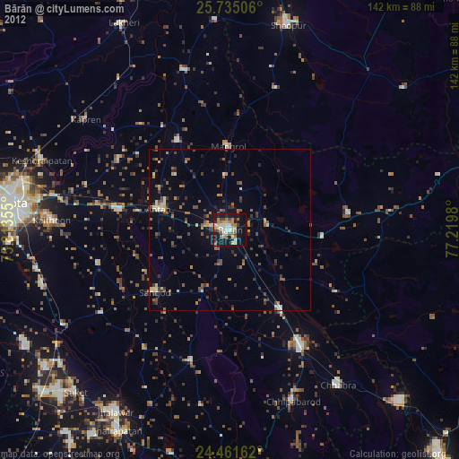
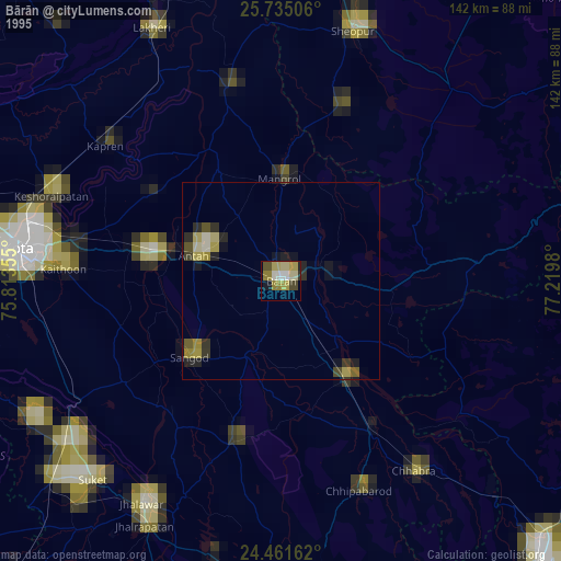
» NASA, Earths city lights 1995
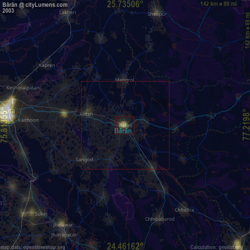
» NASA city lights 2003
» Earth at Night: Flat Maps 2012, 2016